What is recorded here
The following description is derived from both the published 'Archaeological Inventory of County Louth' (Dublin: Stationery Office, 1986) and the 'Archaeological Survey of County Louth' (Dublin: Stationery Office, 1991). In certain instances the entries have been revised and updated in the light of recent research.
Date of upload/revision: 17 July 2007
Current OS 25 inch sheet shows a bank extending in an arc from WNW-N-ENE (C c.18m) and indicating a scarp from E-W (C c. 22m at SSE).
The monument record does not grant public access. Check the route and ask the landowner before entering private land.
- What survives
- Recorded monument
Places near here
 Man-made underground passageFairy fort / earthen ringfort · 235 yd
 Mass-rock in AnnaloughanMass-rock · 593 yd
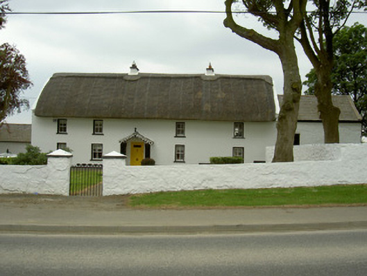 Rampark Farmhousehouse · 1181 yd
 SlievenagloghMountain / peak · 1563 yd
 Annaloughan MountainMountain / peak · 1583 yd
 Saint Mary's Catholic Churchchurch/chapel · 1752 yd
 IndicatedBawn · 1.6 mi
 Soldiers' PointHeadland · 2.8 mi
 CastleCastle, tower house · 3.4 mi
 The BushPicnic place · 3.5 mi
 Proleek DolmenArchaeological place · 3.6 mi
 Carlingford - Loop 1A- Commons LoopWalking route · 4.2 mi