What is recorded here
The following description is derived from both the published 'Archaeological Inventory of County Louth' (Dublin: Stationery Office, 1986) and the 'Archaeological Survey of County Louth' (Dublin: Stationery Office, 1991). It is constructed with coursed rubble granite and has only parts of its S and E walls remaining. The walls have been defaced except for a small portion of the S face of the only remaining angle (SE). The walls appear to have been built against a raised area but this impression may be due to a build-up of collapse inside the structure. The walls are about 4m high externally, 2m high internally, and 1.5-2m wide with a slight batter. The present length of the E wall is c. 13m but it appears to have run further N. The S wall is c. 15m long and runs W into the slope of the natural hill. The remains are featureless but it almost certainly belongs to the late medieval period and could well have been a tower house. A castle is marked in this area by the Down Survey, appears on a map of the escheated counties of Ulster in 1609 (CLAJ 1929, 65), and is marked also on a map of c. 1568 (CLAJ 1985, 43).
From the National Monuments Service (Archaeological Survey of Ireland) record LH007-115
The monument record does not grant public access. Check the route and ask the landowner before entering private land.
- What survives
- Recorded monument
Places near here
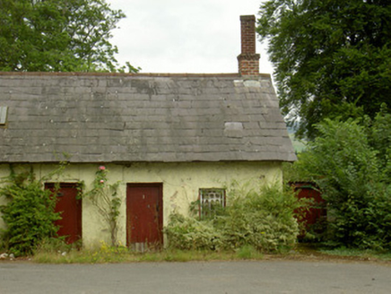 worker's house45 yd
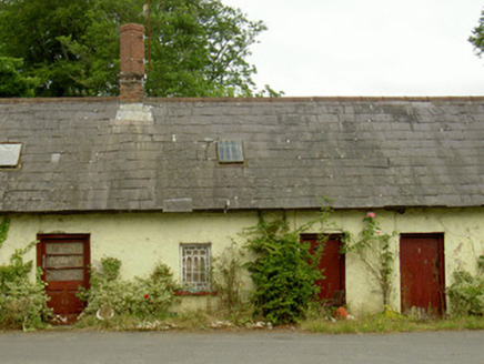 worker's house51 yd
 Giants GraveWedge tomb · 975 yd
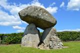 Proleek DolmenArchaeological place · 988 yd
 DolmenPortal tomb · 988 yd
 Soldiers' PointHeadland · 1.5 mi
 Battle of FaughartMajor battlefield · 1.7 mi
 The Round MountainMountain / peak · 2.1 mi
 Louth County MuseumMuseum · 2.5 mi
 Maid of ErinMemorial · 2.7 mi
 Feede MountainMountain / peak · 2.9 mi
 Castle & bawn: moyry or moiry castle in CarrickbroadCastle & Bawn: Moyry or Moiry Castle · 3.1 mi
Pictures: National Inventory of Architectural Heritage; Eric Jones, Geograph · CC BY-SA 2.0; DarranRaff, Wikimedia Commons · CC BY-SA 4.0; Digital Eye, Wikimedia Commons · CC BY-SA 4.0; TommyMurf, Wikimedia Commons · CC BY-SA 4.0; GilPe, Wikimedia Commons · CC BY-SA 4.0
More castles and forts in County Louth · All of County Louth
What do you know about this place?