
What is recorded here
From the National Monuments Service (Archaeological Survey of Ireland) record LH004-075
This remains an important historical record, but the official description says the monument is no longer visible or has been destroyed. The monument record does not grant public access. Check the route and ask the landowner before entering private land.
- What survives
- No visible remains or recorded as destroyed
Places near here
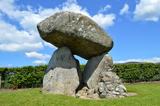 Proleek DolmenArchaeological place · 84 yd
 DolmenPortal tomb · 87 yd
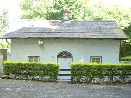 Ballymascanlan HouseGate lodge · 739 yd
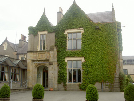 Ballymascanlan HouseHouse · 740 yd
 Trumpet HillMountain / peak · 1.1 mi
 Battle of FaughartMajor battlefield · 1.6 mi
 CairnCourt tomb · 1.7 mi
 Faughart MoundCastle, motte · 1.9 mi
 The Round MountainMountain / peak · 1.9 mi
 Soldiers' PointHeadland · 2.0 mi
 Kilnasaggart Inscribed Pillar Stone & Cemetery with 6 Cross-carved Stones: Cell Na Sacart in EdenappaKilnasaggart Inscribed Pillar Stone & Cemetery with 6 Cross-carved Stones: Cell Na Sacart · 2.8 mi
 Moyry CastleCastle · 2.8 mi
Pictures: DarranRaff, Wikimedia Commons · CC BY-SA 4.0; Digital Eye, Wikimedia Commons · CC BY-SA 4.0; National Inventory of Architectural Heritage; Eric Jones, Geograph · CC BY-SA 2.0; TommyMurf, Wikimedia Commons · CC BY-SA 4.0; Wanfried-Dublin, Wikimedia Commons · CC BY-SA 4.0; Eric Jones, Geograph · Creative Commons Attribution-ShareAlike 2.0; Chris Andrews, Wikimedia Commons · CC BY-SA 2.0
More archaeology and monuments in County Louth · All of County Louth
What do you know about this place?