Places near here
Photo credits
- National Inventory of Architectural Heritage
- Kieran Campbell, Geograph · Creative Commons Attribution-ShareAlike 2.0
- Alvesgaspar, Wikimedia Commons · CC BY-SA 3.0
- Enda O Flaherty, Wikimedia Commons · CC BY-SA 2.0
- Kenneth Allen, Geograph · CC BY-SA 2.0
- D Gore, Geograph · CC BY-SA 2.0
- This file is from the Mechanical Curator collection , a set of over 1 million images scanned from out-of-copyright books and released to Flickr Commons by the British Library. View image on Flickr View all images from book View catalogue entry for book ., Wikimedia Commons · Public domain
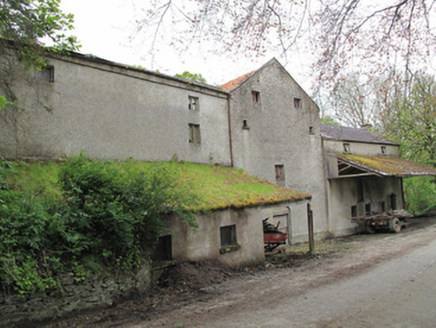 Historic buildingOfficially recorded historic building · 525 yd
Explorer Tom This historic building in Drummullan is a former mill that still holds onto its old machinery like grudges. There was a dance there once where the floorboards actually groaned out of embarrassment. Bring a flask and a story about why you’re really here, because silence is awkward.
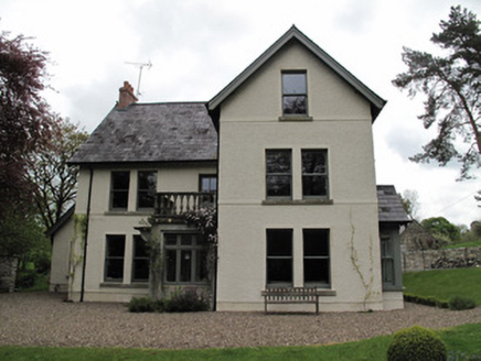 MillviewMill manager's house · 536 yd
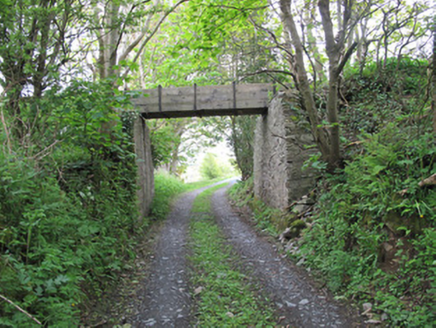 aqueduct1093 yd
Explorer Tom Aqueduct in Roosky once tried to sell itself to a cow who thought it was a fancy drinking fountain. It carried water for the mill, which is basically a very wet job. Bring your own legend, I’ve got plenty of stories about thirsty horses.
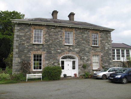 Killygorman HouseHouse · 1103 yd
 Saint Livinus's Catholic ChurchChurch/chapel · 1216 yd
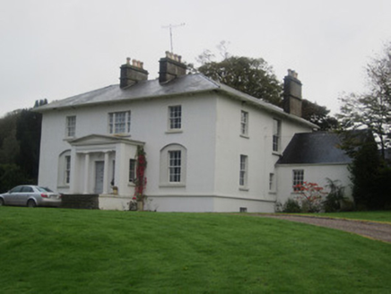 Glinch HouseCountry house · 1532 yd
 Grave YardGraveyard · 1.3 mi
Explorer Tom Killeevan Glebe graveyard is D-shaped because the map makers were drunk one Tuesday afternoon and couldn’t decide on a square. It sits on a ridge, looking slightly confused about its own geometry. Snap one photo, then put the phone away and actually look.
 Common Lime1.9 mi
Explorer Tom This Common Lime in County Monaghan keeps whispering to its younger self about making better leaf choices. It’s got serious regret issues now. If it's closed, admire it from the road like a polite stalker.
 Giants GreveWedge tomb · 4.2 mi
Explorer Tom "Giants Greve is hiding a scandal about a stone that wasn’t invited to the party. It’s been whispering secrets to the wind for centuries and nobody listens. Snap one photo, then put the phone away and actually look."
 Ulster Canal Stores Visitor CentreHeritage attraction · 4.3 mi
 Flagpole HillMountain / peak · 6.1 mi
 Dartrey ForestForest · 6.2 mi
Explorer Tom Dartrey Forest used to have a great house at its centre, and the trees have done a fine job of carrying on without it. The Dawson family's Dartrey House was demolished in 1946. Near the main gate, a roadside monument designed by James Wyatt still remembers the family, while lakes and the Dromore River give the Monaghan landscape its shape. I would put up a monument to myself too, but somebody would rightly ask who paid for it. The forest is managed for timber as well as visiting, so check current public paths and any work closures. Keep to permitted routes and leave the old wall and monuments alone. Look across the linked water from a safe trail. The missing house is one story; the living woods have plenty of their own.
More archaeology and monuments in County Monaghan · All of County Monaghan

What do you know about this place?Tap to add a comment or ask a question