
What is recorded here
On a gentle NNE-facing slope in pasture. Depicted as a large circular enclosure on the 1837 OS 6-inch map and named 'New Row Fort'. An irregularly shaped raised area (58.7m NW-SE; 50.1m NE-SW) is enclosed by a low bank of earth and stone, which has been extensively modified and incorporated into a field boundary from NE-E-S. There is no trace of a fosse. The present entrance at WNW does not appear to be original. The interior is divided into unequal portions by the remains of a WNW-ESE drystone wall. The outline of a relatively modern, small, rectangular house is visible within the smaller portion to the SSW of the wall. Also within this portion is a large pond. Within the larger NNE portion are a series of field-clearance cairns. A report in 1975 (SMR file) recorded a circular house site (LF021-044002-) in this area but it was not identified.
Compiled by: Patrick F. O'Donovan
Date of upload: 3 December 2011
A local fairy fort (ringfort/rath); wider significance not recorded.
This remains an important historical record, but the official description says the monument is no longer visible or has been destroyed. The monument record does not grant public access. Check the route and ask the landowner before entering private land.
- What survives
- No visible remains or recorded as destroyed
Places near here
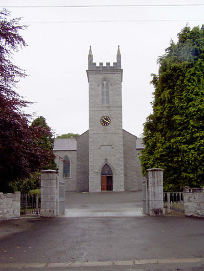 Catholic Church of the Nativity of the Blessed Virginchurch/chapel · 327 yd
 Bawnaveragh FortFairy fort / earthen ringfort · 444 yd
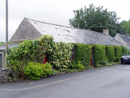 Thomas Ashe Hallhall · 603 yd
 IndicatedEnclosure · 751 yd
 Caltragh CastleCastle, unclassified · 973 yd
 Elfeet CastleCastle, Anglo-Norman masonry castle · 1.2 mi
 Culnagore WoodForest · 1.4 mi
 Bush IslandIslet · 1.6 mi
 Elfeet BayBay · 1.6 mi
 Leveran IslandIslet · 1.9 mi
 Rinnagan PointHeadland · 3.4 mi
 St. John's WoodWood · 3.6 mi
Other information
Photo: Credit not shown in the picture search · Rights wording not checked; contact us if this picture should be removed