What is recorded here
Fairy fort in Greenhall Upper is a wide earthen ring on a gentle south-east slope, still holding its shape inside working pasture. A low bank of earth and stone circles the ground, with a gap at the east that may have been the entrance. People may have lived there, herded animals, or simply marked the boundary between the ordinary field and the hidden world. The ring remains visible, patient, and unexplained.
On a gentle SE-facing slope in pasture. A raised subcircular area (57.8m NE-SW; 51.9m NW-SE) enclosed by a low bank of earth and stone (Wth 4.8m; H 0.1-0.8m). From S-N-ENE the outer face of the bank has been modified and incorporated into a field boundary. There is no trace of a fosse. A modern NW-SE field boundary crosses the rath immediately inside the bank at NE. A break (Wth 4.1m) at E may mark the original entrance. The interior slopes appreciably from NW-SE.
Compiled by: Patrick F. O'Donovan
Date of upload: 12 January 2012
This remains an important historical record, but the official description says the monument is no longer visible or has been destroyed. The monument record does not grant public access. Check the route and ask the landowner before entering private land.
- What survives
- No visible remains or recorded as destroyed
Places near here
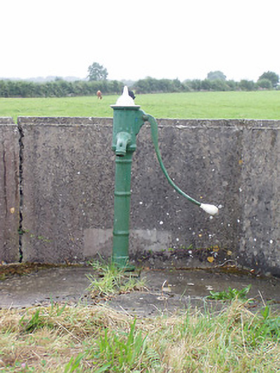 water pumpwater pump · 1013 yd
 Man-made underground passage in Aghavadden,glebe (rathcline By., Cashel West Ed)Man-made underground passage · 1332 yd
 Caltragh CastleCastle, unclassified · 1351 yd
 Man-made underground passage in FortwilliamMan-made underground passage · 1488 yd
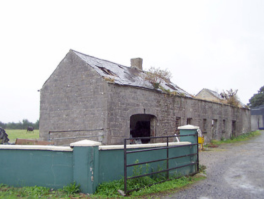 Cordara Houseoutbuilding · 1.0 mi
 Elfeet CastleCastle, Anglo-Norman masonry castle · 1.6 mi
 Priest's IslandIslet · 1.9 mi
 Culnagore WoodForest · 2.1 mi
 Elfeet BayBay · 2.2 mi
 Leveran IslandIslet · 2.4 mi
 Black RockNamed rock · 3.8 mi
 White Sand WoodWood · 3.8 mi