
What is recorded here
Cattle trampling exposed a six-metre passage hidden inside the thick bank of the Aghavadden rath. Drystone walls lean inward beneath heavy flat slabs, forcing a person to creep through a narrow gap before entering a chamber tall enough to stand upright. The build is deliberate, compact and strong, suggesting people valued privacy or protection enough to bury a room inside an ancient earthwork. A second similar passage waits in the north-west quadrant, proving the rath contained more than one hidden space.
Within the thickness of the inner bank of a rath (LF021-039001-) at SW. A linear passage (L 6.5m; Wth 1.5m), aligned NW-SE, leads to a creep (L 1.4m; Wth 0.8m; max. H 0.7m) at its NW end, which accesses a subrectangular chamber (5.3m NW-SE; 2.3m NE-SW; max. H 1.4m). The walls are built of drystone masonry and incline inward at the top to support a roof of large flat slabs. A second Man-made underground passage (LF021-039003-), of similar construction, is located in the NW quadrant of the rath. Both were exposed as a result of cattle trampling. (ITA Survey 1944)
Compiled by: Patrick F. O'Donovan
Date of upload: 4 September 2012
The monument record does not grant public access. Check the route and ask the landowner before entering private land.
- What survives
- Recorded monument
Places near here
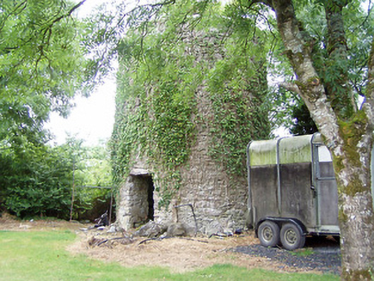 mill (wind)mill (wind) · 848 yd
 Church (in Ruins)Church · 1229 yd
 Grave YardGraveyard · 1247 yd
 Bawnaveragh FortFairy fort / earthen ringfort · 1433 yd
 Caltragh CastleCastle, unclassified · 1528 yd
 Elfeet CastleCastle, Anglo-Norman masonry castle · 1618 yd
 Priest's IslandIslet · 1.4 mi
 Culnagore WoodForest · 1.4 mi
 Elfeet BayBay · 1.4 mi
 Leveran IslandIslet · 1.6 mi
 Black RockNamed rock · 3.2 mi
 St. John's WoodWood · 3.2 mi
Other information
Photo: Credit not shown in the picture search · Rights wording not checked; contact us if this picture should be removed