
What is recorded here
On a gentle NNE-facing slope in pasture. A raised circular area (diam. 42.7m) enclosed by a low bank of earth and stone (Wth 3.4m; H 0.2-0.8m) with a shallow external fosse (Wth 3.2m; D 0.3m). From SW-N-ENE the bank has been modified and incorporated into a field boundary, a modern drystone wall has been constructed along its outer face, and the fosse has been infilled. The original entrance is not recognisable. The rath is densely overgrown with scrub rendering satisfactory inspection impossible.
Compiled by: Patrick F. O'Donovan
Date of upload: 30 November 2011
A local fairy fort (ringfort/rath); wider significance not recorded.
The monument record does not grant public access. Check the route and ask the landowner before entering private land.
- What survives
- Recorded monument
Places near here
 New Row FortFairy fort / earthen ringfort · 444 yd
 Caltragh CastleCastle, unclassified · 698 yd
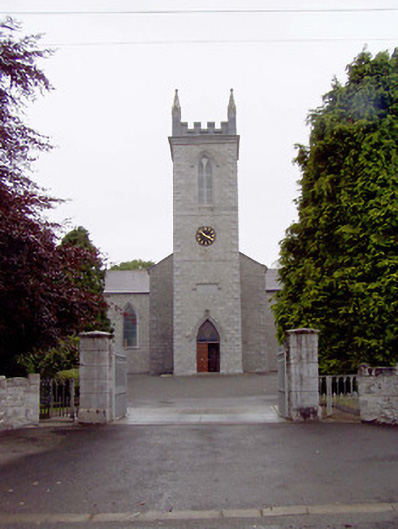 Catholic Church of the Nativity of the Blessed Virginchurch/chapel · 707 yd
 IndicatedEnclosure · 916 yd
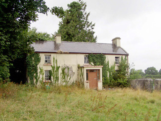 J. Hopkinshouse · 944 yd
 Elfeet CastleCastle, Anglo-Norman masonry castle · 1.1 mi
 Culnagore WoodForest · 1.4 mi
 Elfeet BayBay · 1.6 mi
 Bush IslandIslet · 1.7 mi
 Leveran IslandIslet · 1.8 mi
 Rinnagan PointHeadland · 3.4 mi
 St. John's WoodWood · 3.6 mi
Other information
Photo: Credit not shown in the picture search · Rights wording not checked; contact us if this picture should be removed