Places near here
Photo credits
- Eeno11, Wikimedia Commons · CC BY-SA 3.0
- National Inventory of Architectural Heritage
- Jonathan Thacker, Geograph · CC BY-SA 2.0
 Rowan428 yd
Explorer Tom Rowan in County Cork bragged about surviving a storm that was actually just a strong breeze and a lot of wind noise.…
 Sun HouseHouse · 1082 yd
Explorer Tom Sun House in Liscahane had a fake royal visit that nobody can disprove. Queen Victoria allegedly stopped in to borrow a…
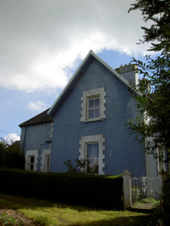 The RectoryRectory/glebe/vicarage/curate's house · 1092 yd
Explorer Tom The Rectory in Liscahane is showing off its bracketed eaves like it’s trying to impress the vicar next door. It’s got…
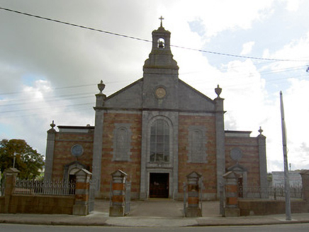 Saint Patrick's Catholic ChurchChurch/chapel · 1145 yd
Explorer Tom Saint Patrick's Catholic Church in Coomlogane is the town’s most accomplished historic building, which is doing a lot…
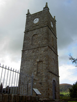 Saint Anna's Church (Drishane)Church/chapel · 1184 yd
Explorer Tom Saint Anna's Church tower in Drishane claims to be older than dirt, but really it’s just the last bit standing after…
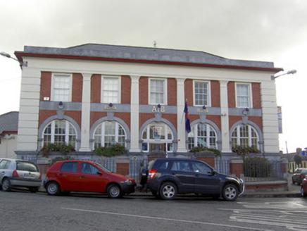 Allied Irish BankBank/financial institution · 1224 yd
Explorer Tom Allied Irish Bank in Liscahane is standing at the junction looking like it owes money to its own reflection. It’s got…
 J.a. HickieHouse · 1228 yd
Explorer Tom J.A. Hickie is a house with a shopfront that has really gilded lettering. It hears everything through its walls…
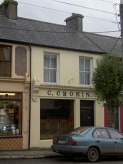 C. CroninHouse · 1242 yd
Explorer Tom C. Cronin in Liscahane is a shop front with cast-iron lettering from the 1930s, spelling out Cornelius Cronin's name.…
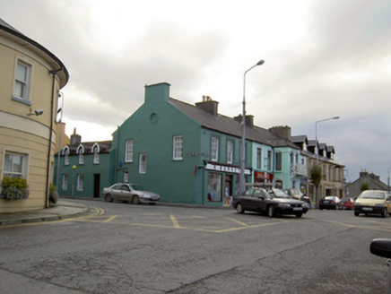 R. BarrettHouse · 1257 yd
Explorer Tom R. Barrett in Liscahane is sitting pretty on its corner, showing off those timber sash windows like it owns the whole…
 Inch HouseHouse · 1307 yd
Explorer Tom Inch House in Coomlogane is a big 1910 show-off with a hipped roof and wide eaves. It’s got a porch and bay windows…
 Inchileigh BridgeBridge · 1381 yd
Explorer Tom Inchileigh Bridge in Coomlogane is a single-arch limestone bridge over the River Finnow from around 1810. It’s got…
 Kilmeedy CastleCastle, tower house · 1674 yd
Explorer Tom Kilmeedy Castle was designed by a mother-in-law who really needed everyone to know where the door was, so she added a…
More historic places in County Cork · All of County Cork

What do you know about this place?Tap to add a comment or ask a question