
What is recorded here
Detached two-storey house, built c. 1910, comprising two-bay hipped-roofed main block with lower recessed two-bay two-storey pitched-roofed block to east, west bay of latter being under continuation of main roof. Hipped-roofed porch to front elevation, west end having canted plan, and canted-bay window to west elevation of main block, with recent conservatory to rear elevation. Artificial slate roofs with rendered chimneystacks. Render cornice to canted-bay window. Roughcast rendered walls with smooth render platbands and edging. Timber sliding sash windows throughout with concrete sills. Round-headed three-over-three pane window to recessed block and square-headed window openings elsewhere, with two-over-two pane timber sliding sash windows. Square-headed door opening to porch with timber panelled door, overlight and concrete step, and having cast-iron bootscrape to threshold. House set back from road with rendered boundary walls and square-profile rendered piers to entrance with decorative cast-iron gate.
The large scale and form of this house make it an imposing and notable feature on the roadscape. Its substantial form is accentuated by the overhanging eaves and wide platbands and edgings. Interest is added to the façade by features typical of houses of its time such as the porch and the bay window. The architectural form of the building is enhanced by the retention of the timber sash windows, while the setting is enhanced by the piers and gate to the entrance.
From the Buildings of Ireland (National Inventory of Architectural Heritage) record 20817002
This does not grant access. Most recorded buildings are privately owned; view them only from public ground unless the owner allows entry.
Places near here
 Inchileigh BridgeBridge · 75 ydMillstreet Museum & Tourist Information CentreMuseum · 331 yd
 St. Patrick's ChurchVisitor information · 415 yd
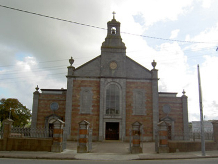 Saint Patrick's Catholic ChurchChurch/chapel · 468 yd
 Rowan1556 yd
 Claragh MountainMountain / peak · 1.2 mi
 Kilmeedy CastleCastle, tower house · 1.6 mi
 Castle and TurretCastle, tower house · 1.6 mi
 Grave YardGraveyard · 1.7 mi
 CurracahillMountain / peak · 3.0 mi
 Glantane EastArchaeological place · 4.0 mi
 Battle of KnocknaclashyBattle · 6.0 mi
Pictures: National Inventory of Architectural Heritage; Jonathan Thacker, Geograph · CC BY-SA 2.0; Eeno11, Wikimedia Commons · CC BY-SA 3.0; Mike Searle, Wikimedia Commons · CC BY-SA 2.0; Jonathan Thacker, Geograph · Creative Commons Attribution-ShareAlike 2.0; Colin Park, Geograph · CC BY-SA 2.0; User Coil00 on en.wikipedia, Wikimedia Commons · CC BY-SA 3.0; Maker shown on the Wikimedia Commons file page · CC BY-SA 3.0
More historic places in County Cork · All of County Cork
What do you know about this place?