
What is recorded here
Within grounds of former Drishane Convent. Shown on 1842 and 1904 OS 6-inch maps as rectangular 'burial ground' (c. 45m NE-SW; c. 50m NW-SE); 1936 OS 6-inch map shows extension to SE, graveyard now measuring c. 60m NE-SW; c. 120m NW-SE. Oldest inscribed headstones at N end, the earliest noted dated 1725; nun's burial area to E. Remains of parish church of Drishane (9495) at N end.
The above description is derived from the published 'Archaeological Inventory of County Cork. Volume 3: Mid Cork' (Dublin: Stationery Office, 1997). In certain instances the entries have been revised and updated in the light of recent research.
Date of upload/revision: 14 January 2009
The monument record does not grant public access. Check the route and ask the landowner before entering private land.
- What survives
- Recorded monument
Places near here
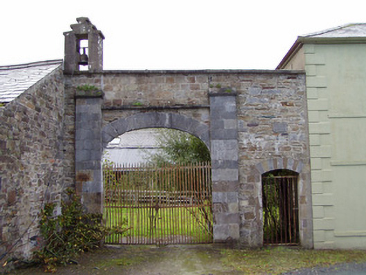 Drishane Castlefarmyard complex · 314 yd
 Castle and TurretCastle, tower house · 366 yd
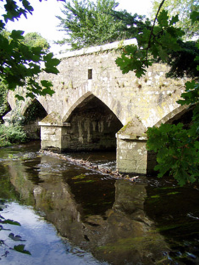 Wallis's Bridgebridge · 447 yd
 Fulacht fia in Drishane Beg (muskerry West By.)Fulacht fia · 1162 yd
 Dromsicane Castle (in Ruins)Bawn · 1.1 mi
 Millstreet Tourist InformationVisitor information · 1.5 mi
 St. Patrick's ChurchVisitor information · 1.5 mi
 Millstreet Museum & Tourist Information CentreMuseum · 1.5 mi
 RowanRowan · 2.3 mi
 Rathcool WoodWood · 2.8 mi
 Claragh MountainMountain / peak · 2.9 mi
Other information
Photo: Jonathan Thacker · Creative Commons Attribution-ShareAlike 2.0