What is recorded here
In level pasture, on Drishane Demesne c. 500m to SW of house and castle (9473). Depicted on 1842 OS 6-inch map as broken line enclosing circular area (diam c. 40m) and planted with trees. Slight depression and darker greengrass in area of site (diam. c. 30m).
The above description is derived from the published 'Archaeological Inventory of County Cork. Volume 3: Mid Cork' (Dublin: Stationery Office, 1997). In certain instances the entries have been revised and updated in the light of recent research.
Date of upload/revision: 14 January 2009
The monument record does not grant public access. Check the route and ask the landowner before entering private land.
- What survives
- Recorded monument
Places near here
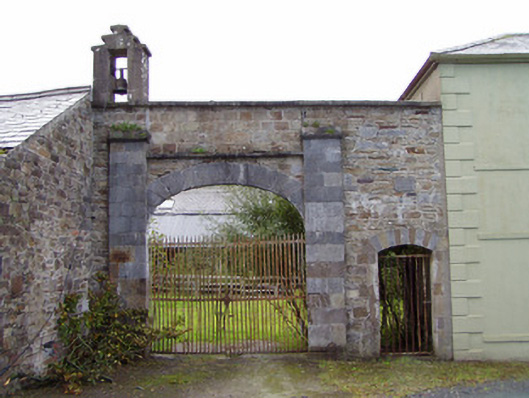 Drishane Castlefarmyard complex · 492 yd
 Castle and TurretCastle, tower house · 586 yd
 Grave YardGraveyard · 774 yd
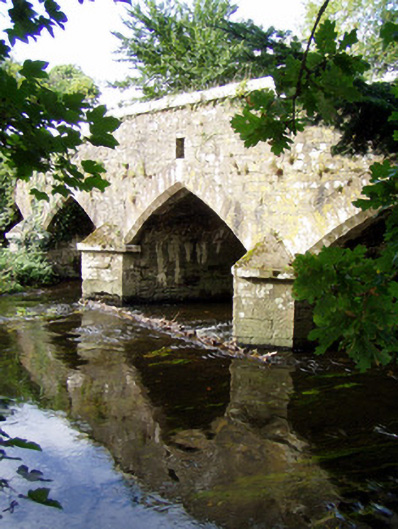 Wallis's Bridgebridge · 890 yd
 Lackabane Standing StoneArchaeological place · 896 yd
 Dromsicane Castle (in Ruins)Bawn · 1641 yd
 Millstreet Tourist InformationVisitor information · 1.1 mi
 St. Patrick's ChurchVisitor information · 1.1 mi
 Millstreet Museum & Tourist Information CentreMuseum · 1.1 mi
 RowanRowan · 1.9 mi
 Claragh MountainMountain / peak · 2.4 mi
 Rathcool WoodWood · 3.2 mi
Other information
Photo: Credit not shown in the picture search · Rights wording not checked; contact us if this picture should be removed