
What is recorded here
In pasture, on a gentle S-facing slope and c. 50m N of a stream. According to local information, a fulacht fia was levelled here prior to 1999. There were no visible remains of this possible fulacht fia in 2005.
The above description is derived from 'The Archaeological Inventory of County Cork. Volume 5' (Dublin: Stationery Office, 2009).
Date of upload: 22 December 2009
The monument record does not grant public access. Check the route and ask the landowner before entering private land.
- What survives
- Recorded monument
Places near here
 Burial ground in Killowen (muskerry West By.)Burial ground · 951 yd
 Church in ShannaknockChurch · 1049 yd
 Grave YardGraveyard · 1162 yd
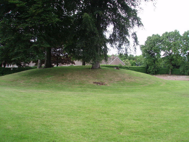 TumulusKiln, lime · 1179 yd
 Castle and TurretCastle, tower house · 1463 yd
 Dromsicane Castle (in Ruins)Bawn · 1.5 mi
 Millstreet Tourist InformationVisitor information · 2.1 mi
 St. Patrick's ChurchVisitor information · 2.1 mi
 Rathcool WoodWood · 2.1 mi
 Millstreet Museum & Tourist Information CentreMuseum · 2.1 mi
 RowanRowan · 2.8 mi
 Claragh MountainMountain / peak · 3.5 mi
Other information
Photo: Credit not shown in the picture search · Rights wording not checked; contact us if this picture should be removed