
What is recorded here
The following description is derived from the published 'Archaeological Inventory of County Monaghan' (Dublin: Stationery Office, 1986). In certain instances the entries have been revised and updated in the light of recent research.
Date of upload/revision: 17 July 2007
Circular area (28m N-S; 31m E-W) surrounded by remains of earthen bank. No visible trace of fosse. Gaps at E and WNW; latter is possibly original. Man-made underground passage (MO029-008002-) SW of centre.
A local fairy fort (ringfort/rath); wider significance not recorded.
This remains an important historical record, but the official description says the monument is no longer visible or has been destroyed. The monument record does not grant public access. Check the route and ask the landowner before entering private land.
- What survives
- No visible remains or recorded as destroyed
Places near here
 Man-made underground passage in CarrickykellyMan-made underground passage · 510 yd
 IndicatedFairy fort / earthen ringfort · 582 yd
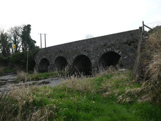 Magoney Bridgebridge · 1.5 mi
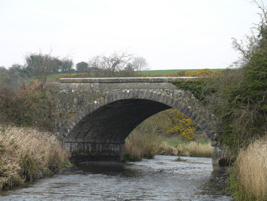 Fane River Bridgebridge · 1.5 mi
 CastleCastle, unclassified · 2.8 mi
 Golf 30Fort · 3.3 mi
 MEDIEVAL & POST-MED. CHURCH & GRAVEYARD in Creggan Bane GlebeMEDIEVAL & POST-MED. CHURCH & GRAVEYARD · 3.5 mi
 Battle of Newry Roadbattle · 3.6 mi
 Ballsmill Amenity LandPicnic place · 3.9 mi
 Sky HillMountain / peak · 4.4 mi
 KnockreaghMountain / peak · 4.4 mi
 Irish Hunger StrikersMemorial · 4.8 mi
Other information
Photo: Credit not shown in the picture search · Rights wording not checked; contact us if this picture should be removed