What is recorded here
A roughly triangular stone with two cupmarks had been built into the wall of a lane at Miskish More, which was moved to the National Museum of Ireland for safety in 1949. It is described as having a triangular surface ’35 inches along the base and 29.9 inches from base to apex. The stone is ‘18.5 inches thick (dims c. 0.9m x c. 0.75m x c. 0.47m)’ (Raftery 1953) and had two cupmarks on its large surface. One (diam. c. 4cm; D c. 2.5cm) was unadorned but the other (diam. c. 2.5cm; D c. 2.5cm) had seven concentric circles (ext. diam. c. 0.4m).
The above description is derived from the published 'Archaeological Inventory of County Monaghan' (Dublin: Stationery Office, 1986). In certain instances the entries have been revised and updated in the light of recent research.
Date of revised upload: 8 February 2017
Dateable to the Neolithic or Early Bronze Age, this cupmarked stone likely held ritual or symbolic significance, possibly linked to ceremonial practices or territorial markers. Cupmarked stones are often associated with prehistoric ritual activity, though specific folklore or use in this case is not recorded.
The monument record does not grant public access. Check the route and ask the landowner before entering private land.
- What survives
- Recorded monument
Places near here
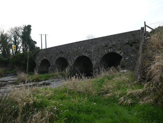 Magoney Bridgebridge · 1092 yd
 IndicatedFairy fort / ringfort · 1236 yd
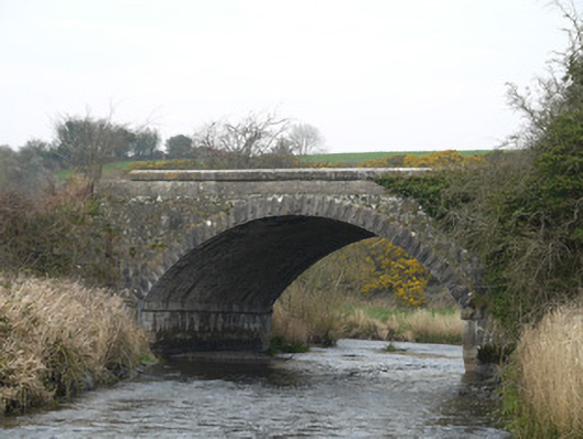 Fane River Bridgebridge · 1275 yd
 Man-made underground passage in CarrickykellyMan-made underground passage · 1671 yd
 CastleCastle, unclassified · 3.6 mi
 KnockreaghMountain / peak · 4.0 mi
 Mannan Castle (in ruins)Castle, Anglo-Norman masonry castle · 4.1 mi
 Battle of Newry Roadbattle · 4.2 mi
 MEDIEVAL & POST-MED. CHURCH & GRAVEYARD in Creggan Bane GlebeMEDIEVAL & POST-MED. CHURCH & GRAVEYARD · 4.3 mi
 Ballsmill Amenity LandPicnic place · 5.0 mi
 Sky HillMountain / peak · 5.4 mi
 Irish Hunger StrikersMemorial · 5.7 mi