Places near here
Photo credits
- Eric Jones, Geograph · CC BY-SA 2.0
- National Inventory of Architectural Heritage
- Dundalk99, Wikimedia Commons · CC BY-SA 4.0
- Garry Dickinson, Geograph · CC BY-SA 2.0
- Eric Jones, Wikimedia Commons · CC BY-SA 2.0
- Eric Jones, Geograph · Creative Commons Attribution-ShareAlike 2.0
- James Edgar, Wikimedia Commons · CC BY-SA 2.0
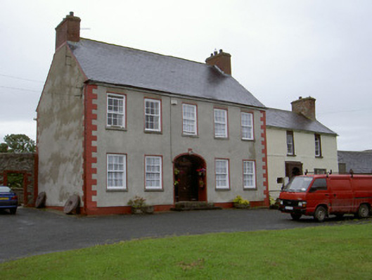
 Promontory fortPromontory fort, inland · 2.1 mi
Explorer Tom Promontory fort in Slieve has had so many former names it’s lost count and just goes by 'that hill.' It’s an oval area…
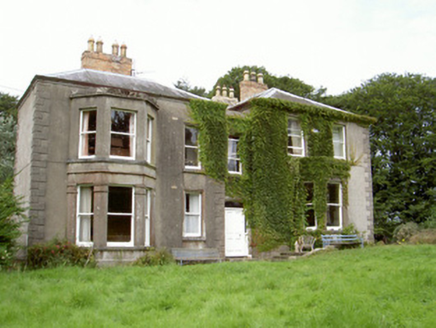 Philipstown HouseHouse · 2.3 mi
Explorer Tom Philipstown House can hear everything through its thick walls, including your mum yelling at you for leaving the door…
 Castletown MotteArchaeological place · 4.7 mi
Explorer Tom Castletown Motte has squeezed a fort, an underground passage and a rich man's folly onto one Dundalk hill. No wonder it…
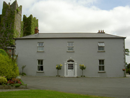 Dún LughaidhHouse · 4.8 mi
Explorer Tom Dún Lughaidh is next to Bellew’s Castle, which means it’s always getting the wrong romantic credit. It says it’s the…
 CastleCastle, tower house · 4.8 mi
Explorer Tom Castle in Castletown ended up here because Richard Bellew got confused about which side of town was cool. It’s a tower…
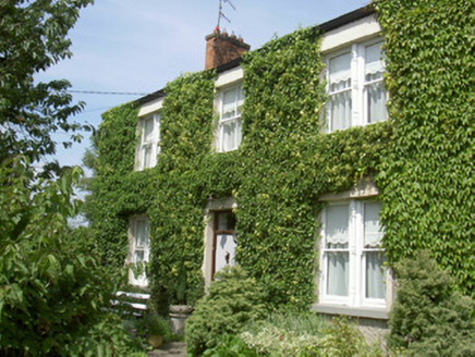 Glendine HouseHouse · 5.2 mi
Explorer Tom Glendine House in Demesne used to be a farmhouse before the suburbs swallowed it whole, like a very polite predator…
 Forkhill Greenspace PathwayWalking route · 5.2 mi
Explorer Tom Forkhill Greenspace Pathway in County Armagh would survive a reality show by hiding behind the trees and pretending…
 Boat house18 mi
Explorer Tom Greencastle’s boat house is basically a former coastguard garage that’s now a listed building. It would cope fine on a…
 Motte in GreencastleMotte · 18 mi
Explorer Tom Motte in Greencastle is a medieval hill of dirt that looks like someone’s dog threw up and then everyone pretended it…
 Church in GreencastleChurch · 18 mi
Explorer Tom Church in Greencastle is a ruined medieval beauty that would absolutely sing along to 'Bohemian Rhapsody' if it could…
 GreencastleCastle · 18 mi
Explorer Tom Greencastle and Carlingford Castle look across the lough like two neighbours still checking each other's fences. The…
 Cranfield PointHeadland · 19 mi
Explorer Tom Cranfield Point is deeply suspicious of the postman because he keeps delivering letters addressed to ‘The Sea’ with no…
More historic places in County Louth · All of County Louth

What do you know about this place?Tap to add a comment or ask a question