What is recorded here
The site of a monument that is depicted on 1840 OS map as a rectangular enclosure (c. 110m SW-NE; c. 60m NW-SE), is now an abandoned limestone quarry. Traces of a bank (L 8.8m; Wth 0.75m), running roughly E-W, evident on the E side of the quarry may be related to the monument. Barry (1981, 84 Site 13) lists this as a moated site.
Compiled by: Denis Power
Date of upload: 28 March 2013
The monument record does not grant public access. Check the route and ask the landowner before entering private land.
- What survives
- Recorded monument
Places near here
 Browns StoneBurial ground · 349 yd
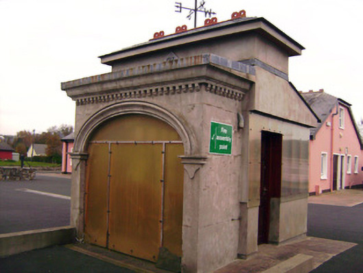 Drombanny Creamerycreamery · 820 yd
 Enclosure in DrombannyEnclosure · 976 yd
 Donaghmore Church (in ruins)Church · 1199 yd
 Castle (in ruins)Castle, tower house · 1.0 mi
 Lickadoon Castle (in ruins)Castle, tower house · 1.3 mi
 Visitor CentreVisitor information · 3.4 mi
 Campus MapVisitor information · 3.4 mi
 Fountain SculptureHeritage attraction · 3.4 mi
 Graveyard in AbingtonGraveyard · 6.9 mi
 Grave Yard.Graveyard · 1187 yd
 presbytery/parochial/curate's housepresbytery/parochial/curate's house · 1212 yd