
What is recorded here
Situated in a gentle SE-facing slope overlooking rolling pasture. The site is an irregularly shaped area enclosed by a mortared stone wall (H c.1m). The church (LI013-052001-), orientated E-W is located in the N half of the graveyard on an embankment area, oval in plan, and orientated NE by SW. The wall to the N roughly respects the line of the embankment, while the other walls enclose an area greater than that of the embankment. The graveyard is still in use.
A local ancient tomb; wider significance not recorded.
The monument record does not grant public access. Check the route and ask the landowner before entering private land.
- What survives
- Recorded monument
Places near here
 Donaghmore Church (in ruins)Church · 13 yd
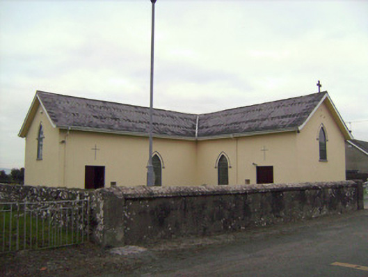 Saint Patrick's Catholic Churchchurch/chapel · 96 yd
 Castle (in ruins)Castle, tower house · 1001 yd
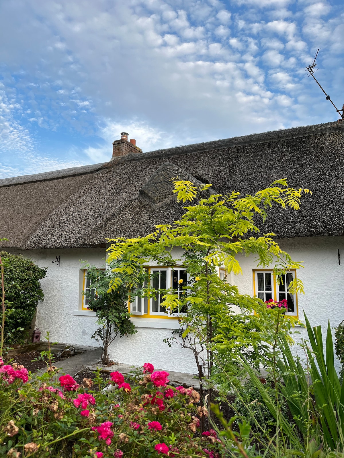 Habitation site in Banemore (clanwilliam By.)Habitation site · 1100 yd
 Browns StoneBurial ground · 1491 yd
 CastleCastle, ringwork · 1756 yd
 Sarsfield Memorialmonument · 2.3 mi
 Limerick War MemorialMemorial · 2.5 mi
 Saint John Paul IIMemorial · 2.7 mi
 Visitor CentreVisitor information · 2.7 mi
 Campus MapVisitor information · 2.7 mi
 Fountain SculptureHeritage attraction · 2.7 mi
Other information
Photo: Credit not shown in the picture search · Rights wording not checked; contact us if this picture should be removed