
What is recorded here
In reclaimed grassland. Outline of circular-shaped area (approx. diam. 40m) defined by a fosse visible on OSi orthophoto and Digital Globe orthoimage taken 2011-13.
Compiled by: Caimin O'Brien
Date of upload: 24 June 2020
A local fairy fort (ringfort/rath); wider significance not recorded.
The monument record does not grant public access. Check the route and ask the landowner before entering private land.
- What survives
- Recorded monument
Places near here
 Browns StoneBurial ground · 904 yd
 Lickadoon Castlecountry house · 1418 yd
 Lickadoon Castle (in ruins)Castle, tower house · 1482 yd
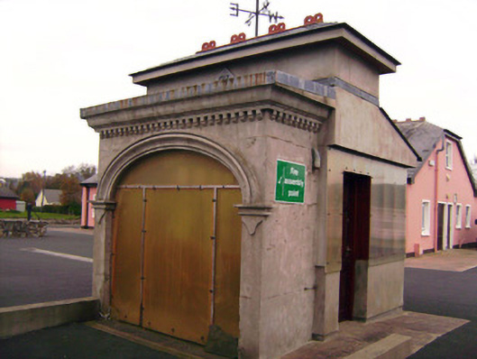 Drombanny Creamerycreamery · 1520 yd
 Mound in RoxboroughMound · 1.1 mi
 Castle (in ruins)Castle, tower house · 1.3 mi
 Visitor CentreVisitor information · 3.9 mi
 Campus MapVisitor information · 3.9 mi
 Fountain SculptureHeritage attraction · 3.9 mi
 Graveyard in AbingtonGraveyard · 7.2 mi
 MillMill, unclassified · 1521 yd
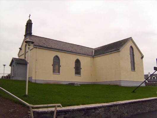 Saint Patrick's Catholic Churchchurch/chapel · 1.1 mi
Other information
Photo: Credit not shown in the picture search · Rights wording not checked; contact us if this picture should be removed