
What is recorded here
Situated immediately S of a stream, on an E-facing slope down to poorly-drained pasture. A drop in the stream bed at this location creates a small waterfall. Rectangular area (c. 30m E-W; 11m N-S) enclosed by a bank (int. H 0.1m; Wth. 3.1m; ext. H 0.4m) to S and E, and by a field boundary to W and the stream to N. Local information suggests there was a mill at this location.
The monument record does not grant public access. Check the route and ask the landowner before entering private land.
- What survives
- Recorded monument
Places near here
 Lickadoon Castle (in ruins)Castle, tower house · 106 yd
 Lickadoon Castlecountry house · 705 yd
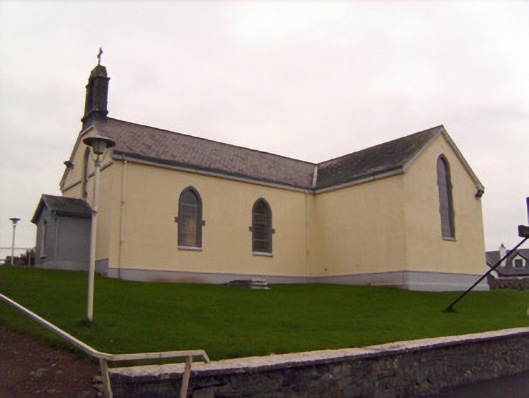 Saint Patrick's Catholic Churchchurch/chapel · 1085 yd
 Grave YardGraveyard · 1425 yd
 Settlement desertedSettlement deserted, medieval · 1484 yd
 Bawn in Raheen (clanwilliam By., Roxborough Ed)Bawn · 1520 yd
 ToberauillinSpring · 1.9 mi
 Visitor CentreVisitor information · 4.7 mi
 Campus MapVisitor information · 4.7 mi
 Fountain SculptureHeritage attraction · 4.7 mi
 Graveyard in AbingtonGraveyard · 7.2 mi
 Enclosure in DrombannyEnclosure · 1521 yd
Other information
Photo: Credit not shown in the picture search · Rights wording not checked; contact us if this picture should be removed