Places near here
Photo credits
- National Inventory of Architectural Heritage
- Mike Searle, Geograph · CC BY-SA 2.0
- Sitomon, Wikimedia Commons · CC BY-SA 2.0
- Maker not stated on source page, en.wikipedia.org
- Maker not stated on source page, www.tripadvisor.com.au
- Maker not stated on source page, eattasty.pt
- Chhe ( talk ), Wikimedia Commons · Public domain
- Maker not stated on source page, www.interment.net
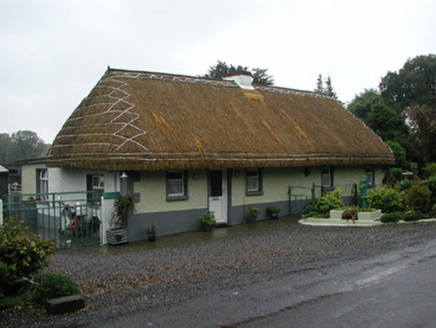 farm house1.4 mi
Explorer Tom Farm house in Coolcor is wearing thatch like a very old, very proud hat that refuses to be replaced by modern tiles. It…
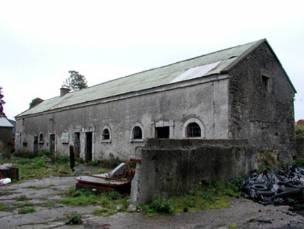 Greenhills HouseStables · 1.6 mi
Explorer Tom Greenhills House stables in Greenhills are no longer used by horses but still show off high-quality window and door…
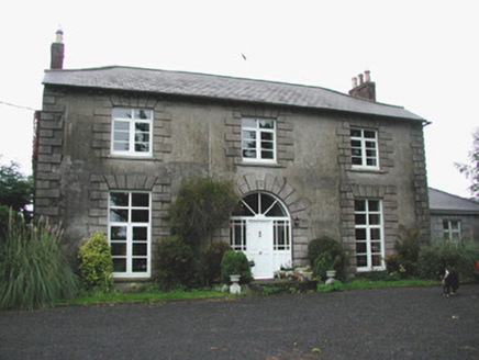 Coolville HouseHouse · 1.9 mi
Explorer Tom Coolville House is why map makers got it wrong, as they kept drawing it as two separate buildings and getting confused.…
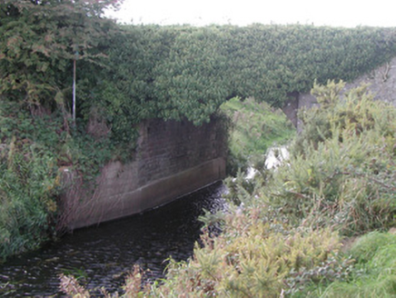 Baltinoran BridgeBridge · 2.3 mi
Explorer Tom Baltinoran Bridge in Carrick has been hiding a scandal where the river moved, and nobody checked with the bridge first.…
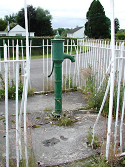 water pump3.1 mi
Explorer Tom Water pump in Ballyfore is a cast-iron beauty with banding and fluting that looks like it’s been polished by hand for…
 Castle JordanArchaeological place · 3.6 mi
Explorer Tom Castle Jordan has a curse that only affects people who don’t wave when they pass by. If you’re too cool for school…
 European Yew18 mi
Explorer Tom European Yew in County Kildare gave up fruit for Lent, but only ate one secret bite on Tuesday. It feels very guilty…
 Mapped cemeteryCemetery · 19 mi
Explorer Tom The most dramatic event in this Mapped Cemetery was when a pigeon sat on a headstone for three straight days. It caused…
 Moore Abbey WoodPicnic place · 19 mi
Explorer Tom Moore Abbey Wood has a long-standing grudge with the weather because it keeps raining on its picnic plans without…
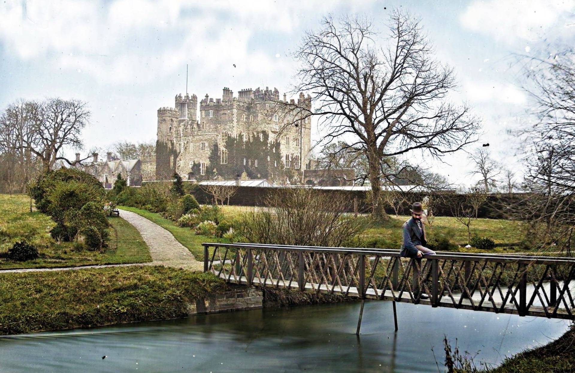 CastleCastle, unclassified · 20 mi
Explorer Tom Castle in Greyabbey is in a bitter feud with the rain, claiming it’s the one keeping the castle alive. It was ruinous…
 Bee-bee tree21 mi
Explorer Tom Bee-bee tree in County Kildare is a secret-keeper that only talks after three pints of rain. It’s got a story about…
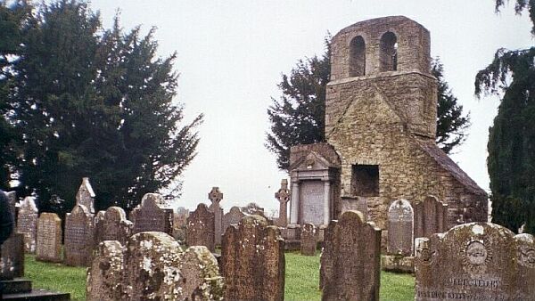 CemeteryGraveyard · 26 mi
Explorer Tom Cemetery in Moortown is an unenclosed graveyard where a priest lost a bet on whether the bank would hold or collapse.…
More castles and forts in County Offaly · All of County Offaly

What do you know about this place?Tap to add a comment or ask a question