
What is recorded here
An aerial photograph (St. Joseph AVR 55)indicates a circular cropmark c. 40m in diameter, here. There are two separated breaks (possibly entrances) to the E. The site which is located in good farmland was not inspected.
The above description was derived from the 'Archaeological Survey of County Donegal. A description of the field antiquities of the County from the Mesolithic Period to the 17th century.' Compiled by: Brian Lacey with Eamon Cody, Claire Cotter, Judy Cuppage, Noel Dunne, Vincent Hurley, Celie O'Rahilly, Paul Walsh and Seán Ó Nualláin (Lifford: Donegal County Council, 1983). In certain instances the entries have been revised and updated.
Date of upload: 22 September 2008
A local fairy fort (ringfort/rath); wider significance not recorded.
The monument record does not grant public access. Check the route and ask the landowner before entering private land.
- What survives
- Recorded monument
Places near here
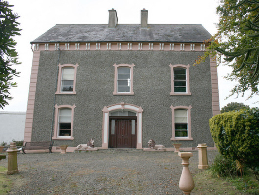 house, Mill Townhouse · 149 yd
 bridge, GORTREEbridge · 282 yd
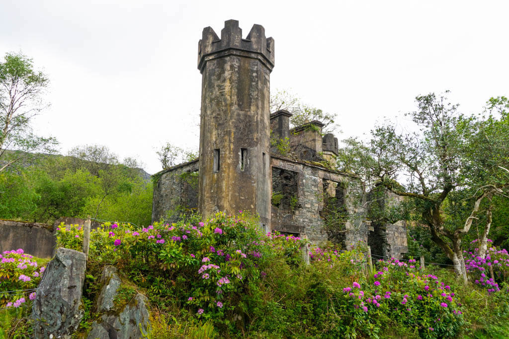 Killyverry Fairy FortFairy fort / ringfort · 616 yd
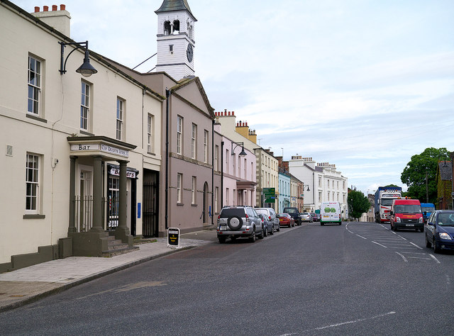 Enclosure in Moneymore (newtowncunningham Ed)Enclosure · 1271 yd
 House, fortified house in Ballylawn (manorcunningham Ed)House, fortified house · 2.2 mi
 Castle, unclassified in Castleforward DemesneCastle, unclassified · 2.4 mi
 Rowan, Castlegrove House Hotel, Co. DonegalRowan · 4.4 mi
 European Yew, Castlegrove House Hotel, Co. DonegalEuropean Yew · 4.4 mi
 Grianán of AileachFairy fort / stone ringfort · 5.3 mi
 Mullanadee ShoreBeach / strand · 6.0 mi
 Mongorry HillMountain / peak · 6.8 mi
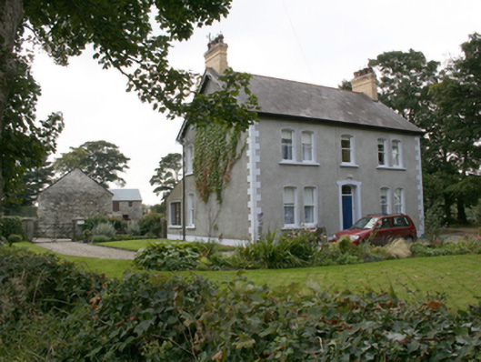 farm house, MONEYMORE (NEWTOWNCUNNINGHAM)farm house · 439 yd
Other information
Photo: Credit not shown in the picture search · Rights wording not checked; contact us if this picture should be removed