What is recorded here
Castleforward Demesne holds a sub-rectangular motte twenty-seven metres long, wrapped in a fosse that cuts deliberately across its west side. Trees smother the four-metre mound today, hiding whatever hands shaped it or stood upon it. The place overlookes land still remembered as marshy and possibly tidal into the seventeenth century, suggesting water once framed the hill rather than fields. Any tower mentioned in older maps has vanished completely, leaving only the mound and the memory of height above drowning ground.
The 1st edition of the OS 6-inch map shows a single-ringed 'Fort' at this location. The site consists of a modified natural mound sub-rectangular in shape, 27m NWSE and 22.5m SW-NE. A fosse encloses the site for the most part and is particularly evident on the W side where the mound has been deliberately divided to give it its present appearance. There are slight traces of a bank outside the fosse and on the N side there is a curving field boundary. The mound is c. 4m high and is tree-covered but there are no signs of any structures visible. This site, or another closeby, is usually identified as the location of 'Culmacatreine' a small castle or tower house shown on a map of c. 1600.* There is now no trace of this castle. The site is located on a slight rise overlooking low-lying reclaimed land, which seems to have been marshy and possibly even tidal up to the seventeenth century.*(PRO MPF 335) see DG047-015.
The above description was derived from the 'Archaeological Survey of County Donegal. A description of the field antiquities of the County from the Mesolithic Period to the 17th century.' Compiled by: Brian Lacey with Eamon Cody, Claire Cotter, Judy Cuppage, Noel Dunne, Vincent Hurley, Celie O'Rahilly, Paul Walsh and Seán Ó Nualláin (Lifford: Donegal County Council, 1983). In certain instances the entries have been revised and updated.
Date of upload: 22 September 2008
The monument record does not grant public access. Check the route and ask the landowner before entering private land.
- What survives
- Recorded monument
Places near here
 CastleCastle, unclassified · 224 yd
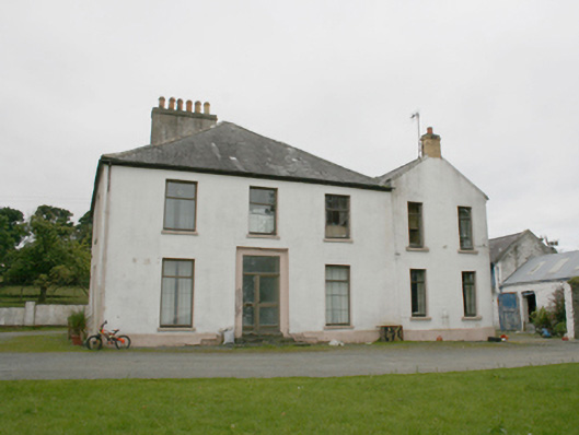 rectory/glebe/vicarage/curate's houserectory/glebe/vicarage/curate's house · 1065 yd
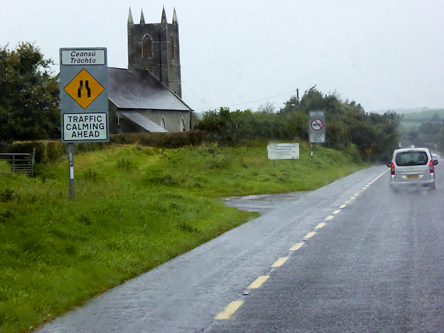 All Saints Church of Ireland Churchchurch/chapel · 1185 yd
 Burt CastleCastle, tower house · 1.3 mi
 Former Monfad Fairy FortFairy fort / ringfort · 1.7 mi
 Emmery Celtic CrossWood · 1.7 mi
 Former Main Plaster EnclosureEnclosure · 1.8 mi
 Greenan MountainMountain / peak · 2.9 mi
 Grianán of AileachFairy fort / stone ringfort · 2.9 mi
 King's GraveArchaeological place · 4.1 mi
 InchIsland · 4.5 mi
 Mullanadee ShoreBeach / strand · 4.7 mi