
What is recorded here
Castleforward Demesne preserves the lost O'Doherty stronghold of 1440, broken open in 1529 and later taken by O'Donnell. It survived poor condition, repair and an English garrison before disappearing, perhaps beneath the house that itself vanished. One castle stone still stands beside the empty ground, pointing to rooms, fires and fights no longer visible.
Culmacatraine Castle (site of): It belonged to the O'Doherties in 1440, was dismantled in 1529 and subsequently occupied by O'Donnell. Apparently in poor condition in 1600, it was repaired in the following year and was garrisoned by an English force in 1610. It was probably demolished in the 17th century. The castle probably stood on or near the site of the 18th century Castleforward House (Davies and Swan 1939, 200-1). Of the stones noted by Davies and Swan, only one, in the wall beside the house, was located. The house has been razed to the ground. (See DG047-017-).
The above description was derived from the 'Archaeological Survey of County Donegal. A description of the field antiquities of the County from the Mesolithic Period to the 17th century.' Compiled by: Brian Lacey with Eamon Cody, Claire Cotter, Judy Cuppage, Noel Dunne, Vincent Hurley, Celie O'Rahilly, Paul Walsh and Seán Ó Nualláin (Lifford: Donegal County Council, 1983). In certain instances the entries have been revised and updated.
Date of upload: 22 September 2008
The castle was held by the O'Doherty family in 1440 and later by the O'Donnell clan, reflecting its strategic importance in west Ulster during the late medieval period. It saw periodic use and repair into the early 17th century, indicating ongoing regional significance amid shifting power dynamics.
The monument record does not grant public access. Check the route and ask the landowner before entering private land.
- What survives
- Recorded monument
Places near here
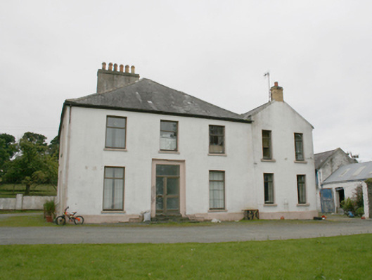 rectory/glebe/vicarage/curate's houserectory/glebe/vicarage/curate's house · 842 yd
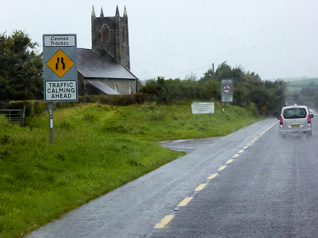 All Saints Church of Ireland Churchchurch/chapel · 1017 yd
 Burt CastleCastle, tower house · 1.2 mi
 Former Monfad Fairy FortFairy fort / ringfort · 1.6 mi
 Former Main Plaster EnclosureEnclosure · 1.7 mi
 Emmery Celtic CrossWood · 1.8 mi
 Greenan MountainMountain / peak · 3.0 mi
 Grianán of AileachFairy fort / stone ringfort · 3.0 mi
 Old CastleCastle, tower house · 3.1 mi
 King's GraveArchaeological place · 4.1 mi
 InchIsland · 4.4 mi
 Mullanadee ShoreBeach / strand · 4.6 mi
Other information
Photo: Credit not shown in the picture search · Rights wording not checked; contact us if this picture should be removed