What is recorded here
The precise location of a medieval mill within the townland of Dromore has not been identified. In 1612 Robert Dillon of Cannorstown was granted 'a mill' (Cal. pat. rolls Ire., Jas I, 228) in the townland of Dromore. The mill is mentioned in the terrier of the 1659 Down Survey map of Castletown parish in the barony of Moycashel where it records that there is 'a Ruinated Mill at Drumore' (NLI, MS 723-4).
Compiled by: Caimin O'Brien
Date of upload: 23 July 2015
The monument record does not grant public access. Check the route and ask the landowner before entering private land.
- What survives
- Recorded monument
Places near here
 CastleCastle, motte · 104 yd
 Partially hachuredFairy fort / earthen ringfort · 417 yd
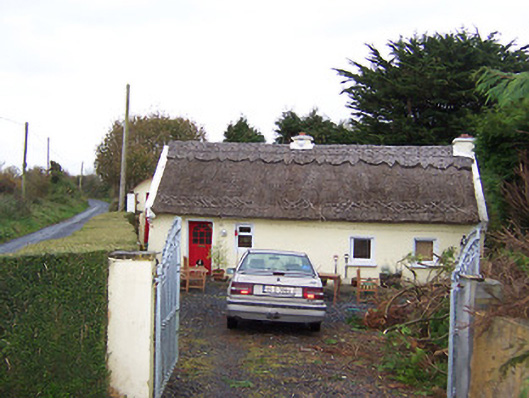 The Thatchhouse · 734 yd
 IndicatedEnclosure · 1104 yd
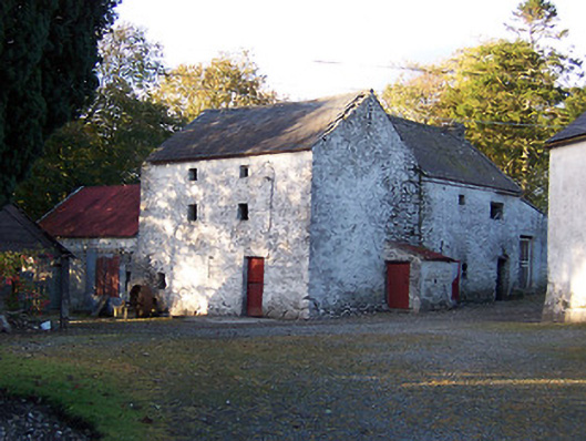 mill (water)mill (water) · 1232 yd
 Killalea FortCastle, motte · 1338 yd
 Sam's ParkForest · 3.8 mi
 Kilmalady HillMountain / peak · 4.4 mi
 Japanese pagoda treeJapanese pagoda tree · 4.9 mi
 Bonfire HillMountain / peak · 5.6 mi
 Clara Bog BoardwalkHeritage attraction · 8.2 mi
 Charles BianconiMemorial · 8.4 mi