Places near here
Photo credits
- National Inventory of Architectural Heritage
- J McCauley (as credited in photo caption), www.westmeathindependent.ie
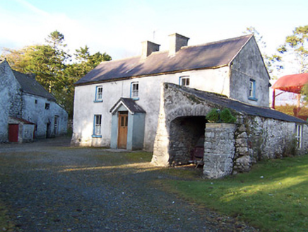 farm house1121 yd
Explorer Tom Farm house in Sraneeg is holding its breath like it’s still hiding from the 1846 earl. I bet the first owner had a…
 Rockfield HouseHouse · 1121 yd
Explorer Tom Rockfield House in Sraduff has a doorcase so artistically meritful that I suspect the seagulls land there specifically…
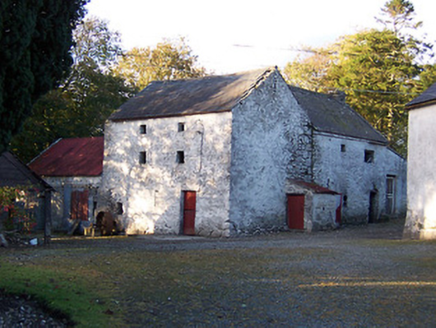 mill (water)1125 yd
Explorer Tom Mill in Sraneeg is a tuck and corn mill that’s tough as old boots, built with unrefined rubble stone that screams 'I…
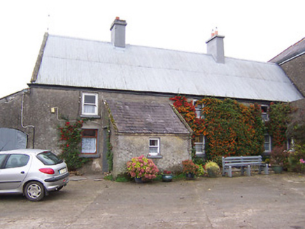 Garhy LodgeHouse · 1140 yd
Explorer Tom Garhy Lodge is a house with a split personality, with one half old-school and the other half trying too hard to be…
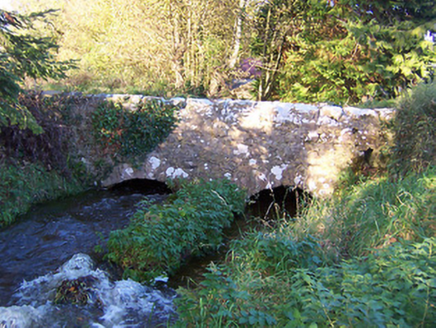 bridge1167 yd
Explorer Tom Bridge in Ballinlough is the stage for a love story where two arches met and immediately started fighting over who…
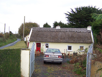 The ThatchHouse · 1470 yd
Explorer Tom The Thatch in Ballynacoska is having a rivalry with a much more famous thatched house next door. It has decorative…
 St. Joseph's GAA pitchGAA ground · 1.0 mi
 Donore BridgeBridge · 1.7 mi
Explorer Tom Donore Bridge in Ballinlig would tell its younger self to stop worrying about those rough stone arches and just enjoy…
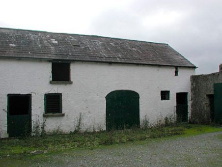 Vastina HouseOutbuilding · 2.1 mi
Explorer Tom Vastina House outbuildings smell like old hay, fresh mud, and a strong suspicion that someone is hiding a secret in the…
 graveyard/cemetery2.2 mi
Explorer Tom Graveyard or cemetery in Castletown is full of McGeoghegans who died before they could buy a decent fiddle. A local…
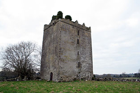 Donore CastleCastle/fortified house · 2.6 mi
Explorer Tom Donore Castle has been squatting in its spot since 1598, which is longer than most of us have been alive, so honestly…
 Coolalough HouseFarmyard complex · 3.0 mi
Explorer Tom Coolalough House in Westmeath is a farmyard complex that would tell a teenager the 1800s were basically just slow Wi-Fi…
More archaeology and monuments in County Westmeath · All of County Westmeath

What do you know about this place?Tap to add a comment or ask a question