What is recorded here
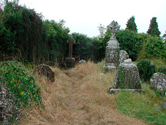
Early churchyard on irregular plan, erected c.1400, having a collection of cut stone grave markers, mainly dating from the eighteenth century to the early-twentieth century. Formerly in use as a Church of Ireland graveyard associated with a former Church of Ireland church to the south end (15318012). Ruins of medieval church and abbey (WM032-014---) to the centre and the remains of a later mortuary chapel, dated 1671 (plaque) to the west end of the churchyard. Bounded by a rubble stone wall with roughcast rendered finish over. Main entrance gates to the east side comprising a pair of roughly dressed limestone gate piers (on square-plan with cut stone capstones over) supporting a wrought-iron flat bar gate. Located to the centre of Castletown Geoghegan.
An historically important graveyard, which has been a focal point for the local community since the medieval period. Of particular relevance to this survey is the fine collection of cut stone grave markers, both upright and recumbent, the majority of which date from the eighteenth and nineteenth centuries. A number of the grave markers mark the burials of members of the McGeoghegan family, after which the town is named, including the grave of a David McGeoghegan, died 1778; Many of theses grave markers are of high artistic merit and a number retain early cast-iron or wrought-iron railings. The haphazard nature of this graveyard sharply contrasts the formality of St Michael's cemetery (15318001) to the north. The remains of the medieval abbey and the post medieval mortuary chapel are of archaeological merit. This churchyard was formerly used as a Church of Ireland graveyard associated with St. Brigid’s church (15318012), which still stands to the south. This graveyard represents a feature of some tranquility to the north end of Castletown Geoghegan and is an important element of the history of the local area. The good quality gates to the east complete the setting.
This does not grant access. Most recorded buildings are privately owned; view them only from public ground unless the owner allows entry.
Places near here
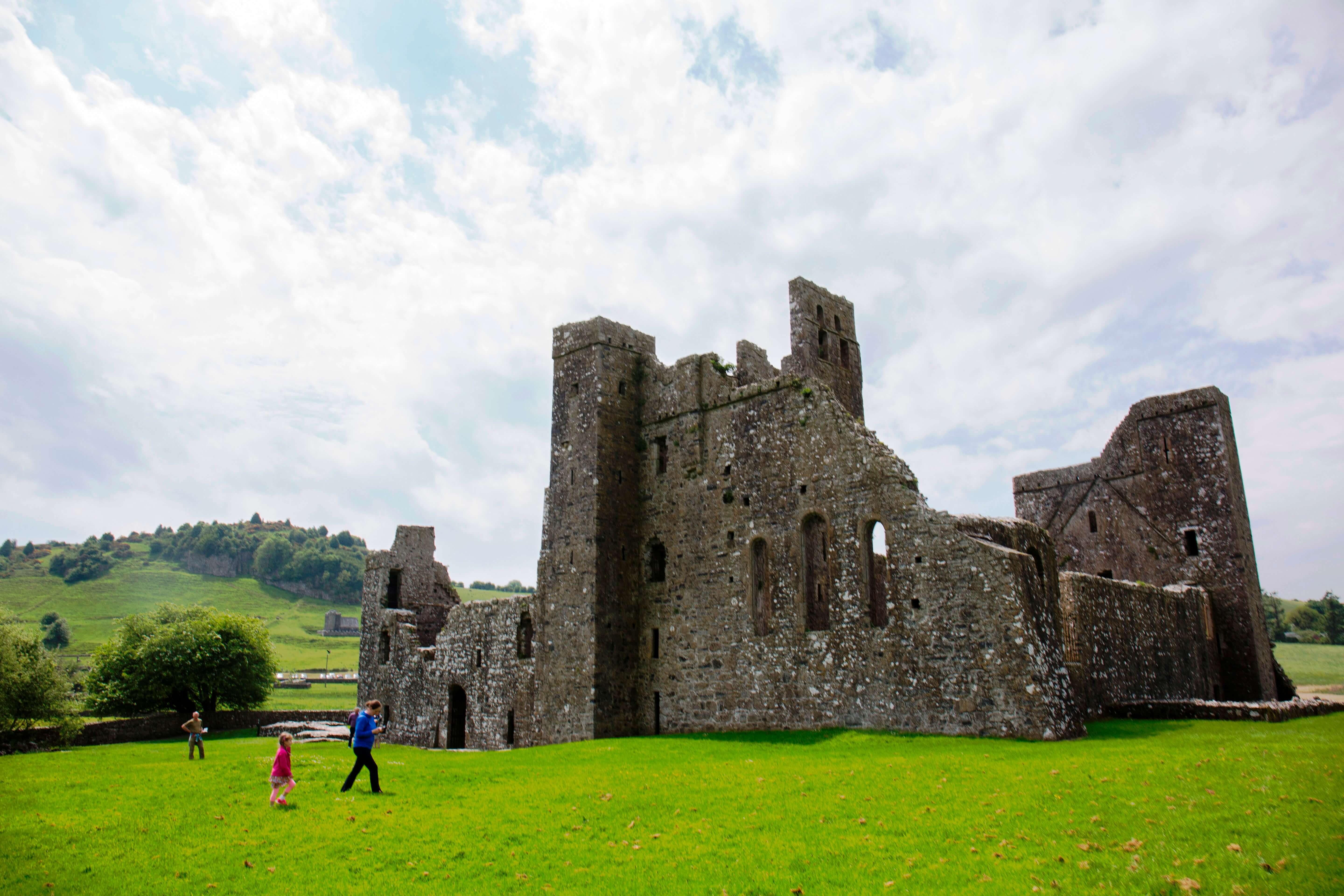 AbbeyChurch · 16 yd
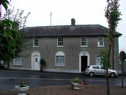 Castletown Geoghegan Garda Síochána StationRIC barracks · 93 yd
 Castletown MoatCastle, motte and bailey · 160 yd
 Site of CastleCastle, tower house · 276 yd
 OutlinedEnclosure · 511 yd
 Ecclesiastical enclosure in Adamstown (moycashel By.)Ecclesiastical enclosure · 1340 yd
 Hill of UisneachMountain / peak · 4.4 mi
 Sam's ParkForest · 4.7 mi
 European ashEuropean ash · 4.8 mi
 Bonfire HillMountain / peak · 6.4 mi
 Kilmalady HillMountain / peak · 6.6 mi
 St. Columba's WellSpring · 8.2 mi
Other information
Photo: National Inventory of Architectural Heritage · Website use allowed for educational or private purposes with source credit