What is recorded here
Sam's Park is recorded as a forest in County Westmeath.
From OpenStreetMap (© OpenStreetMap contributors) w1139803890
Places near here
Photo credits
- National Inventory of Architectural Heritage
- Wayne77, Wikimedia Commons · CC BY-SA 3.0
- Willow, Wikimedia Commons · CC BY 2.5
- Bridget Neville, Wikimedia Commons · CC BY-SA 4.0
- Mike Searle, Geograph · CC BY-SA 2.0
- Jamesco101, Wikimedia Commons · CC BY-SA 4.0
- dougf, Wikimedia Commons · CC BY-SA 2.0
IndicatedField system · 132 yd post box542 ydKillgarvan HouseHouse · 639 ydSaint Brigid's Catholic ChurchChurch/chapel · 682 ydwater pump685 ydMosstown HouseOutbuilding · 1138 ydJapanese pagoda tree1.9 miEuropean ash2.1 miBrides WellHoly well · 2.1 miLaragh CastleCastle · 2.3 miAbbeyshrule AbbeyRuins · 8.8 miEsker CastleCastle, tower house · 12 mi
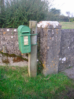 post box542 yd
 Killgarvan HouseHouse · 639 yd
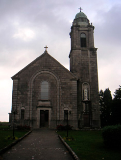 Saint Brigid's Catholic ChurchChurch/chapel · 682 yd
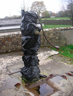 water pump685 yd
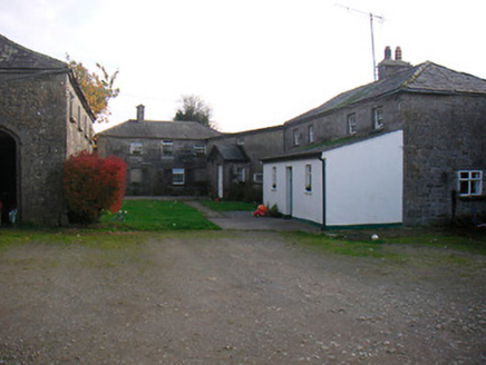 Mosstown HouseOutbuilding · 1138 yd
 Japanese pagoda tree1.9 mi
 European ash2.1 mi
 Brides WellHoly well · 2.1 mi
 Laragh CastleCastle · 2.3 mi
 Abbeyshrule AbbeyRuins · 8.8 mi
 Esker CastleCastle, tower house · 12 mi
More woods, forests and old trees in County Westmeath · All of County Westmeath
What do you know about this place?