What is recorded here
Situated on gently sloping ground, overlooking low-lying, rough pasture to S and SW. Depicted on the revised 1913 ed. OS 25-inch map as a series of field banks and enclosures. Area around castle annotated ‘Sam’s Park’. In the immediate vicinity of a stone castle (WM024-155----) and ringwork (WM024-155001-) are a complex of earthen banks. The banks to S form two trapezoidal-shaped enclosures. It is unclear if these are contemporary with the castle site or later post-1700 field system. A house site (WM024-155003-) is situated within the WSW area of these enclosures.
Situated on gently sloping ground, overlooking low-lying, rough pasture to S and SW. Depicted on the revised 1913 ed. OS 25-inch map as a series of field banks and enclosures. Area around castle annotated ‘Sam’s Park’. In the immediate vicinity of a stone castle (WM024-155----) and ringwork (WM024-155001-) are a complex of earthen banks. The banks to S form two trapezoidal-shaped enclosures. It is unclear if…
From the National Monuments Service (Archaeological Survey of Ireland) record WM024-155002
The monument record does not grant public access. Check the route and ask the landowner before entering private land.
- What survives
- Recorded monument
Places near here
Photo credits
- National Inventory of Architectural Heritage
- Wayne77, Wikimedia Commons · CC BY-SA 3.0
- Mike Searle, Geograph · CC BY-SA 2.0
- Maker named on the Wikimedia Commons picture page · CC BY-SA 2.5
- Jamesco101, Wikimedia Commons · CC BY-SA 4.0
- dougf, Wikimedia Commons · CC BY-SA 2.0
 Killgarvan HouseHouse · 528 yd
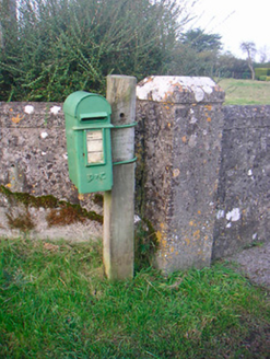 post box669 yd
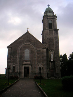 Saint Brigid's Catholic ChurchChurch/chapel · 812 yd
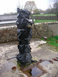 water pump817 ydOutlinedFairy fort / earthen ringfort · 1116 ydPartially hachuredFairy fort / earthen ringfort · 1180 yd
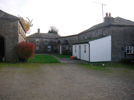 Mosstown HouseOutbuilding · 1185 yd
 Japanese pagoda tree1.8 mi
 Laragh CastleCastle · 2.3 mi
 Sessile Oak6.9 mi
 Abbeyshrule AbbeyRuins · 8.9 mi
 Esker CastleCastle, tower house · 12 mi
More archaeology and monuments in County Westmeath · All of County Westmeath
What do you know about this place?