What is recorded here
Situated on SSW-facing slope overlooking wet land to WSW, in undulating pasture, with good views to WSW. Annotated 'Fort' and depicted on the 1837 ed. OS Fair Plan map as a large, oval-shaped earthwork. Depicted on the 1876 ed. OS 6-inch map as a modified oval-shaped enclosure which has been incorporated into field fences. Monument described in 1971 as a roughly D-shaped area (dims. 59m E-W; 56m N-S) enclosed by a stone wall of differing widths and heights and may represent a modern enclosing element of a feature which has since been levelled. The interior has a gentle SSW-facing slope.
Situated on SSW-facing slope overlooking wet land to WSW, in undulating pasture, with good views to WSW. Annotated 'Fort' and depicted on the 1837 ed. OS Fair Plan map as a large, oval-shaped earthwork. Depicted on the 1876 ed. OS 6-inch map as a modified oval-shaped enclosure which has been incorporated into field fences. Monument described in 1971 as a roughly D-shaped area (dims. 59m E-W; 56m N-S) enclosed by…
From the National Monuments Service (Archaeological Survey of Ireland) record WM024-153
The monument record does not grant public access. Check the route and ask the landowner before entering private land.
- What survives
- Recorded monument
Places near here
Photo credits
- National Inventory of Architectural Heritage
- Willow, Wikimedia Commons · CC BY 2.5
- Bridget Neville, Wikimedia Commons · CC BY-SA 4.0
- Abi Skipp, Wikimedia Commons · CC BY 2.0
- Wayne77, Wikimedia Commons · CC BY-SA 3.0
- Mike Searle, Geograph · CC BY-SA 2.0
- Jamesco101, Wikimedia Commons · CC BY-SA 4.0
- dougf, Wikimedia Commons · CC BY-SA 2.0
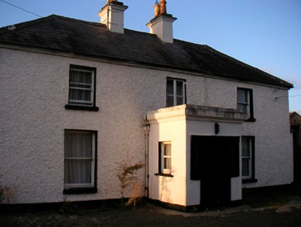 Killaroo HouseHouse · 726 ydPartially hachuredFairy fort / earthen ringfort · 749 yd
 water pump923 yd
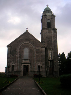 Saint Brigid's Catholic ChurchChurch/chapel · 1014 yd
 post box1034 yd
 European ash1.9 mi
 Brides WellHoly well · 1.9 mi
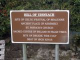 Hill of UisneachMountain / peak · 2.4 mi
 Japanese pagoda tree2.4 mi
 Laragh CastleCastle · 2.5 mi
 Abbeyshrule AbbeyRuins · 9.0 mi
 Esker CastleCastle, tower house · 13 mi
More archaeology and monuments in County Westmeath · All of County Westmeath
What do you know about this place?