What is recorded here
Situated on an ESE-facing slope of a low rise, in gently undulating pasture. Monument described in 1971 as a poorly preserved oval-shaped area (dims. 31.5m ESE-WNW; 21m NNE-SSW) enclosed by a bank and external fosse. The earth and stone bank is almost reduced to a scarp in places and is best preserved from SE-S-WSW however this may be accentuated by a field fence which encroaches on the site at this point. There are the slight remains of an external fosse which is best preserved at NW. No clear entrance feature visible. The interior has a gentle E-facing slope and is planted with large trees. A laneway crosses the outermost perimeter at ENE.
Situated on an ESE-facing slope of a low rise, in gently undulating pasture. Monument described in 1971 as a poorly preserved oval-shaped area (dims. 31.5m ESE-WNW; 21m NNE-SSW) enclosed by a bank and external fosse. The earth and stone bank is almost reduced to a scarp in places and is best preserved from SE-S-WSW however this may be accentuated by a field fence which encroaches on the site at this point. There…
From the National Monuments Service (Archaeological Survey of Ireland) record WM024-142
The monument record does not grant public access. Check the route and ask the landowner before entering private land.
- What survives
- Recorded monument
Places near here
Photo credits
- National Inventory of Architectural Heritage
- Wayne77, Wikimedia Commons · CC BY-SA 3.0
- Willow, Wikimedia Commons · CC BY 2.5
- Bridget Neville, Wikimedia Commons · CC BY-SA 4.0
- Mike Searle, Geograph · CC BY-SA 2.0
- Jamesco101, Wikimedia Commons · CC BY-SA 4.0
- dougf, Wikimedia Commons · CC BY-SA 2.0
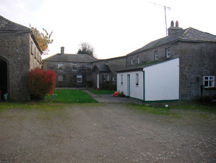 Mosstown HouseOutbuilding · 701 yd
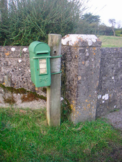 post box1320 yd
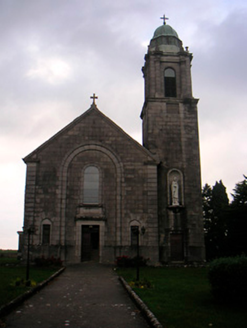 Saint Brigid's Catholic ChurchChurch/chapel · 1440 yd
 Killgarvan HouseHouse · 1483 yd
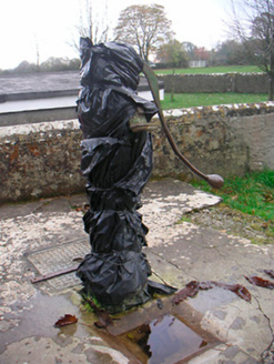 water pump1518 yd
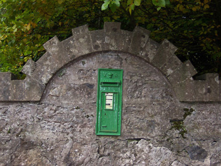 post box1.4 mi
 Japanese pagoda tree1.4 mi
 European ash2.2 mi
 Brides WellHoly well · 2.2 mi
 Laragh CastleCastle · 2.5 mi
 Abbeyshrule AbbeyRuins · 8.5 mi
 Esker CastleCastle, tower house · 12 mi
More archaeology and monuments in County Westmeath · All of County Westmeath
What do you know about this place?