
What is recorded here
Monument surveyed by ASI in 1976 and described as following; 'Marked fort on the OS Fair Plan. The site is now an irregular sub-triangular area (dims. 32m N-S; 23m E-W) bounded from N-W-S by a steep scarp with a bank at its upper edge and from N-E-S by an almost straight bank/wall and drain, the boundary of a disused dwelling and yard. The perimeter has been defaced on the SE by an old quarry pit which was dug into the slope. The bank is highest at the N and NE but it is lower on the W and slight on the S. There is a narrow shallow drain inside the bank on the W and it has a modern post and wire fence along it on the N, where some wood has recently been dumped. The bank and scarp particularly on the W have the appearance more of a field bank than a ringfort bank but this could be due to later modification. There is some slippage of earth and stone from the scarp at the SW and an animal path runs outside the bank and at the top of the scarp on the W. The interior is uneven and rises irregularly towards the centre. It is higher than the ground level outside, most noticeably on the W and S. The interior has been planted with trees. The site is not convincing as a ringfort but it may be a small plantation placed on an earlier and much disturbed ringfort’ (SMR File 19/09/1976). Not depicted as an antiquity on any edition of the OS 6-inch map. Depicted as a grove of trees on the latest edition of the OS 6-inch map and on the 25-inch OS map. Of doubtful antiquity.
Compiled by: Caimin O'Brien
Date of upload: 13 February 2013
A local fairy fort (ringfort/rath); wider significance not recorded.
The monument record does not grant public access. Check the route and ask the landowner before entering private land.
- What survives
- Recorded monument
Places near here
 MotteRuins · 331 yd
 Castletown MoatCastle, motte and bailey · 354 yd
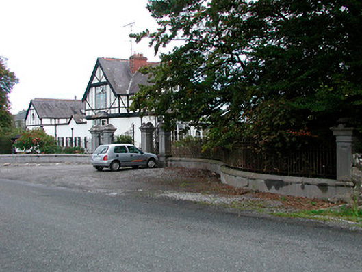 Middleton Park HouseOfficially recorded historic building · 362 yd
 Site of CastleCastle, tower house · 577 yd
 Enclosure in KilbalraherdEnclosure · 1180 yd
 IndicatedEnclosure · 1611 yd
 Hill of UisneachMountain / peak · 4.7 mi
 Sam's ParkForest · 4.9 mi
 European ashEuropean ash · 5.1 mi
 Bonfire HillMountain / peak · 6.1 mi
 Kilmalady HillMountain / peak · 6.5 mi
 St. Columba's WellSpring · 8.0 mi
Other information
Photo: Credit not shown in the picture search · Rights wording not checked; contact us if this picture should be removed