What is recorded here
Monument surveyed by ASI in 1971 and described as following; 'Marked with pencil only on the 1914 ed. OS 6-inch map. There is no visible trace of an antiquity there now. The site has been almost completely quarried away because of road straightening. There are modern deposits of earth (small mounds) at the upper edge of the quarry. The site is on the top of a prominent oval hillock. Excellent views in all directions' (SMR File 24/06/1971). Depicted as an antiquity on the first edition of the OS 6-inch map.
Compiled by: Caimin O'Brien
Date of upload: 18 February 2013
A local fairy fort (ringfort/rath); wider significance not recorded.
This remains an important historical record, but the official description says the monument is no longer visible or has been destroyed. The monument record does not grant public access. Check the route and ask the landowner before entering private land.
- What survives
- No visible remains or recorded as destroyed
Places near here
 Partially hachuredFairy fort / earthen ringfort · 268 yd
 OutlinedFairy fort / earthen ringfort · 695 yd
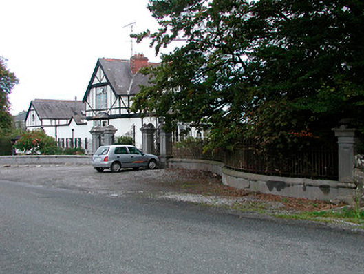 Middleton Park HouseOfficially recorded historic building · 825 yd
 MotteRuins · 1435 yd
 Castletown MoatCastle, motte and bailey · 1461 yd
 Site of CastleCastle, tower house · 1504 yd
 Sam's ParkForest · 5.0 mi
 Hill of UisneachMountain / peak · 5.1 mi
 European ashEuropean ash · 5.4 mi
 Bonfire HillMountain / peak · 5.5 mi
 Kilmalady HillMountain / peak · 5.9 mi
 St. Columba's WellSpring · 7.3 mi
Other information
Photo: Credit not shown in the picture search · Rights wording not checked; contact us if this picture should be removed