
What is recorded here
Monument surveyed by National Monuments Service in 1987 and described as following; 'On high ground in pasture land. There are extensive views in all directions. This is a roughly circular enclosure defined by a low earthen bank with slight traces of an external fosse. The fort is contacted on the E and S by an old field fence outside of which to the E a new road runs through the land in a N-S direction. The interior of the fort is overgrown with scrub and piles of stone from field clearance have been piled on the NE side, obscuring features and rendering it difficult to describe. The bank and fosse are defaced in a number of places, i.e. on the NW, N and E and they are best preserved from NE-E and on the SW. The fort is only 40m in diameter from N-S and is situated in undulating pasture with extensive views in all directions ' (SMR File 01/05/1987).
Compiled by: Caimin O'Brien
Date of upload: 18 February 2013
A local fairy fort (ringfort/rath); wider significance not recorded.
The monument record does not grant public access. Check the route and ask the landowner before entering private land.
- What survives
- Recorded monument
Places near here
 Enclosure in KilbalraherdEnclosure · 268 yd
 IndicatedEnclosure · 595 yd
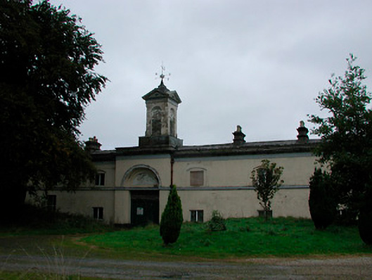 Middleton Park Houseoutbuilding · 945 yd
 MotteRuins · 1402 yd
 Castletown MoatCastle, motte and bailey · 1428 yd
 Site of CastleCastle, tower house · 1523 yd
 Sam's ParkForest · 5.1 mi
 Hill of UisneachMountain / peak · 5.2 mi
 Ardan WoodWood · 5.4 mi
 Bonfire HillMountain / peak · 5.5 mi
 Kilmalady HillMountain / peak · 6.1 mi
 St. Columba's WellSpring · 7.4 mi
Other information
Photo: Credit not shown in the picture search · Rights wording not checked; contact us if this picture should be removed