What is recorded here
Bonfire Hill is recorded as a mountain / peak in County Westmeath.
From OpenStreetMap (© OpenStreetMap contributors) n5252839214
Places near here
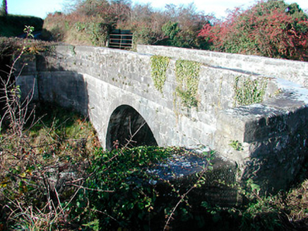 Grange BridgeBridge · 906 yd
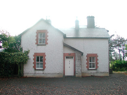 Ardnaglew CottageHouse · 1005 yd
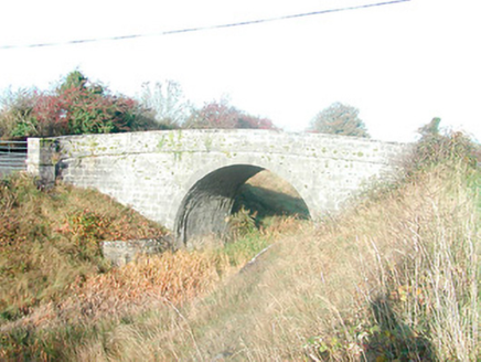 Skeahanagh BridgeBridge · 1496 yd
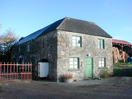 outbuilding1690 ydDurrow HillMountain / peak · 2.0 mi
 St. Columbkilles CrossCross, High cross · 3.2 mi
 CrossCross, High cross · 3.2 mi
 Durrow MoatCastle, motte · 3.3 mi
 European ash4.6 miEuropean ash4.6 mi
 Grand Canal WayWalking route · 5.1 mi
 Ballycowan CastleCastle · 6.8 mi
Pictures: National Inventory of Architectural Heritage; kevin higgins, Wikimedia Commons · CC BY-SA 2.0; Dalenevada, Wikimedia Commons · CC BY-SA 4.0; Mike Searle, Geograph · CC BY-SA 2.0; Willow, Wikimedia Commons · CC BY 2.5; JP, Geograph · CC BY-SA 2.0; Kieran Campbell, Wikimedia Commons · CC BY-SA 2.0
More mountains and hills in County Westmeath · All of County Westmeath
What do you know about this place?