What is recorded here
Monument surveyed by ASI in 1981 and described as following; 'An oval shaped enclosure bounded by remains of a wide low bank set on scarp and with slight remains of a shallow fosse from NE-N-NW. The site is now enclosed as a small field or paddock and the scarp has been rebuilt and partly faced with stone. The perimeter and part of the interior are overgrown with hawthorns and blackthorns. There is the outline of a large rectangular (WM032-047001-) house inside the bank on the N side. It is impossible to measure the site accurately because of the bushes. Sited on a gentle S facing slope in average pasture land' (SMR File 19/10/1981).
From the National Monuments Service (Archaeological Survey of Ireland) record WM032-047
Places near here
Photo credits
- National Inventory of Architectural Heritage
- Mike Searle, Geograph · CC BY-SA 2.0
- Abi Skipp, Wikimedia Commons · CC BY 2.0
- Willow, Wikimedia Commons · CC BY 2.5
- Bridget Neville, Wikimedia Commons · CC BY-SA 4.0
- kevin higgins, Wikimedia Commons · CC BY-SA 2.0
- Maker named on the Wikimedia Commons picture page · CC BY-SA 2.5
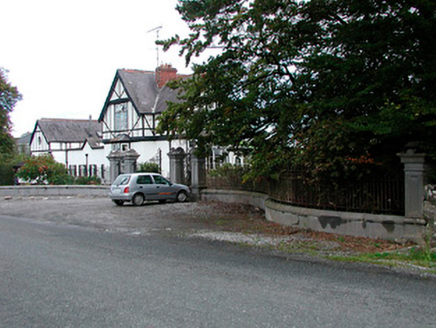 Middleton Park HouseOfficially recorded historic building · 946 yd
 graveyard/cemetery1411 yd
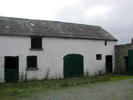 Vastina HouseOutbuilding · 1418 yd
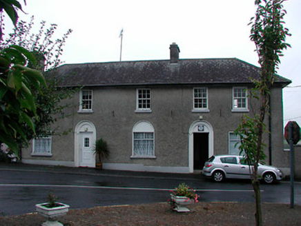 Castletown Geoghegan Garda Síochána StationRic barracks · 1452 yd
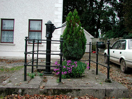 water pump1478 yd
 Laragh CastleCastle · 4.6 mi
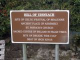 Hill of UisneachMountain / peak · 4.8 mi
 European ash5.1 mi
 Brides WellHoly well · 5.1 mi
 Durrow MoatCastle, motte · 7.5 mi
 St. Columbkilles CrossCross, High cross · 7.5 mi
 Sessile Oak10 mi
More archaeology and monuments in County Westmeath · All of County Westmeath

What do you know about this place?Tap to add a comment or ask a question