
What is recorded here
Monument surveyed by ASI in 1979 and described as following; 'The roughly circular area is delimited by an earthen embankment quite defaced on all sides. The embankment and the interior are covered with a thick scrub making inspection very difficult. Outside this embankment but well within the overgrown area is a smaller low embankment. The embankment is gapped in places on the E and SSW. There is no trace of a fosse except in the NE sector and to a lesser extent in the S. No sign of an entrance. The interior slopes from NNE to SSW and there is also a slope from the limit of the inner embankment in a NE direction to the outer embankment. Located on a ridge'(SMR File 06/09/1979).
Compiled by: Caimin O'Brien
Date of upload: 18 February 2013
This remains an important historical record, but the official description says the monument is no longer visible or has been destroyed. The monument record does not grant public access. Check the route and ask the landowner before entering private land.
- What survives
- No visible remains or recorded as destroyed
Places near here
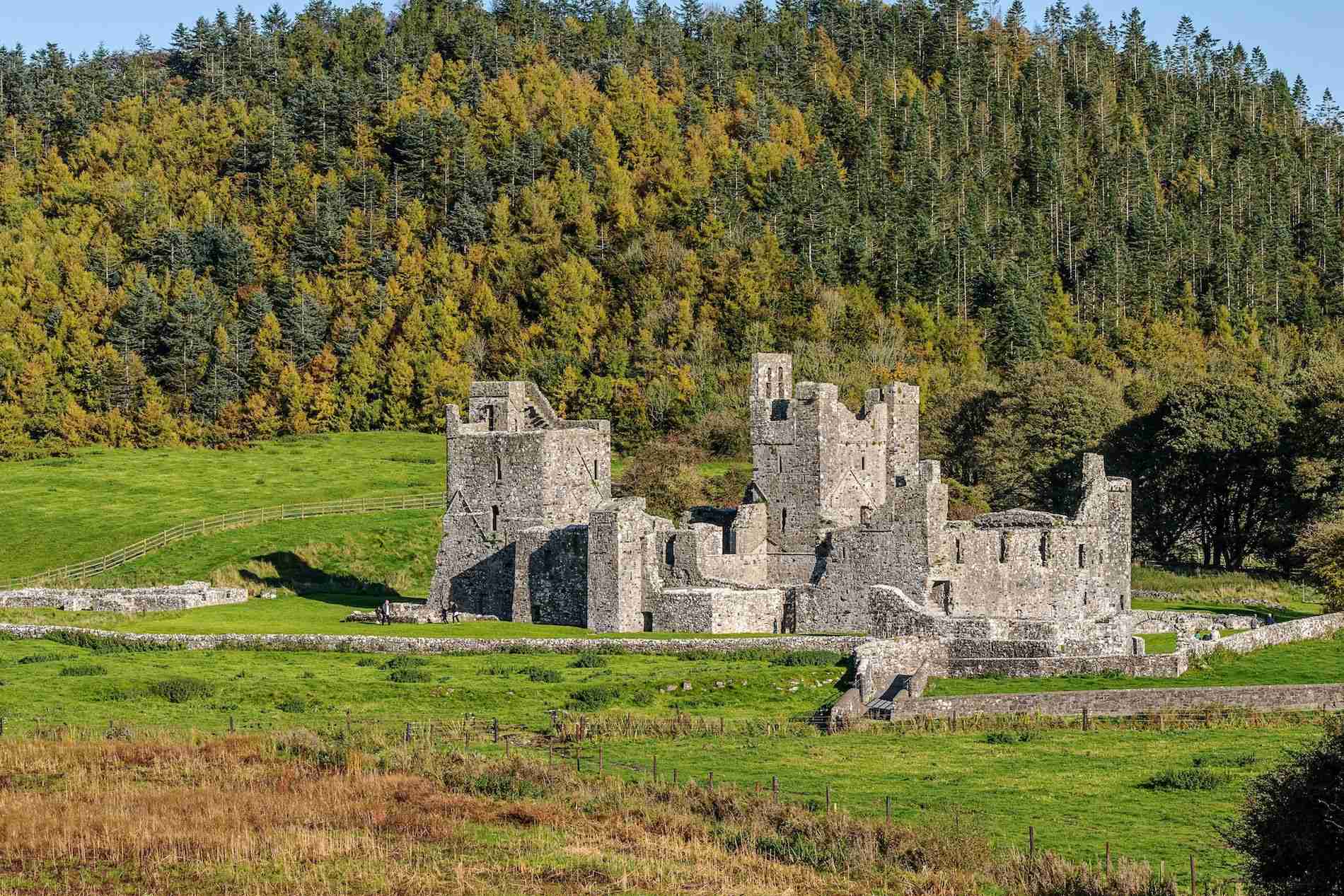 Partially hachuredFairy fort / earthen ringfort · 282 yd
 Enclosure in BallybrennanEnclosure · 664 yd
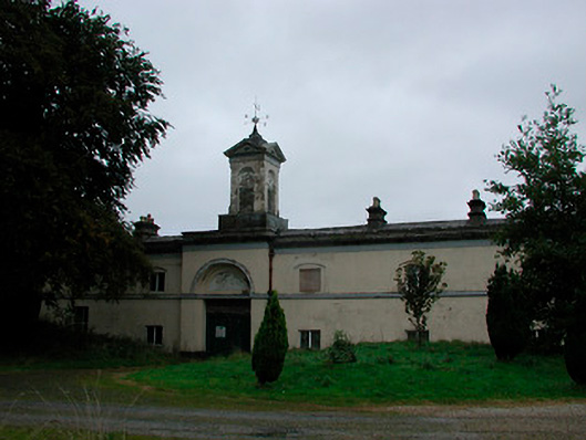 Middleton Park Houseoutbuilding · 1042 yd
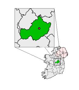 Partially outlinedCastle, unclassified · 1096 yd
 MotteRuins · 1.1 mi
 Castletown MoatCastle, motte and bailey · 1.1 mi
 Ardan WoodWood · 5.1 mi
 Bonfire HillMountain / peak · 5.2 mi
 Hill of UisneachMountain / peak · 5.5 mi
 Kilmalady HillMountain / peak · 6.1 mi
 High WoodWood · 6.9 mi
 St. Columba's WellSpring · 7.2 mi
Other information
Photo: Credit not shown in the picture search · Rights wording not checked; contact us if this picture should be removed