
What is recorded here
This monument was inspected in 1971 and described as follows: 'Situated on top of an E-W ridge which is now planted with trees. Surrounded by gently undulating fertile pasture and meadow land. There is no visible trace of an antiquity at this location' (SMR file). Depicted as a roughly square-shaped enclosure on the first ed. OS 6-inch map but not indicated on subsequent editions of the OS 6-inch maps. Site of monument now located inside woodland marked on 25-inch OS map as Rahenathagle Wood.
Compiled by: Caimin O'Brien
Date of upload: 06 March 2013
This remains an important historical record, but the official description says the monument is no longer visible or has been destroyed. The monument record does not grant public access. Check the route and ask the landowner before entering private land.
- What survives
- No visible remains or recorded as destroyed
Places near here
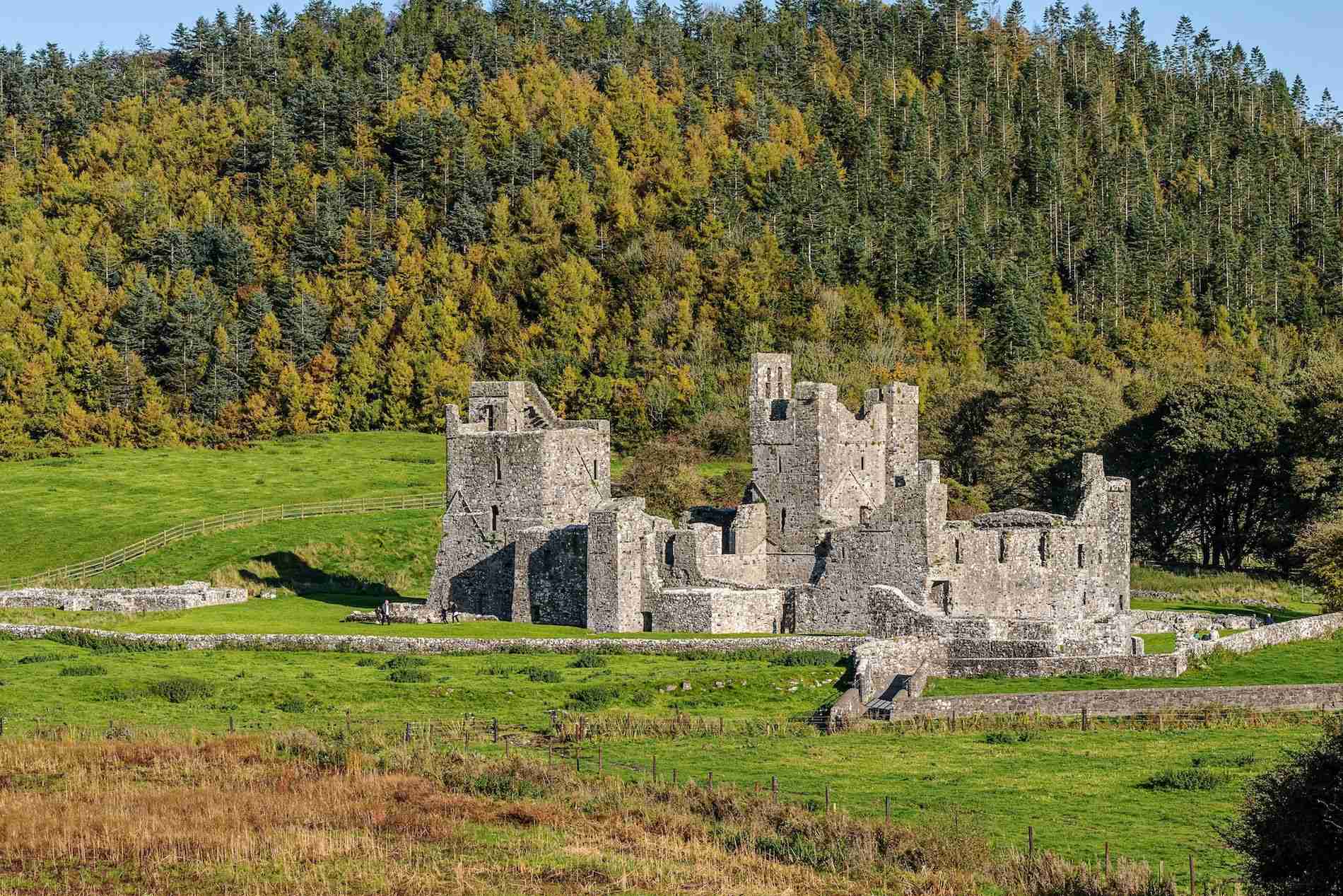 Partially hachuredFairy fort / earthen ringfort · 396 yd
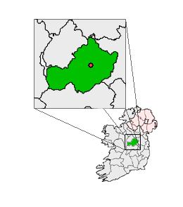 Partially outlinedCastle, unclassified · 465 yd
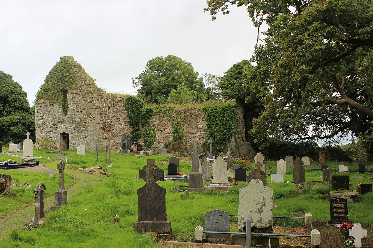 IndicatedFairy fort / earthen ringfort · 504 yd
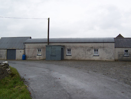 farm housefarm house · 1375 yd
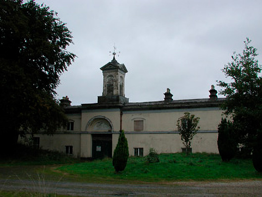 Middleton Park Houseoutbuilding · 1594 yd
 Balrath CastleCastle · 1.4 mi
 Ardan WoodWood · 4.7 mi
 Bonfire HillMountain / peak · 4.9 mi
 Hill of UisneachMountain / peak · 5.9 mi
 Kilmalady HillMountain / peak · 6.0 mi
 High WoodWood · 6.6 mi
 St. Columba's WellSpring · 6.9 mi
Other information
Photo: Credit not shown in the picture search · Rights wording not checked; contact us if this picture should be removed