What is recorded here
This monument was inspected in 1971 and described as follows: 'On a slight natural rise, surrounded by gently undulating fertile meadow and pasture land. No measurements were taken and the monument was impossible to examine due to the dense cover of vegetation. So far as can be seen this site consists of a steep scarp with very slight remains of an earthen bank on its upper edge and with a narrow shallow fosse at its foot extending in an arc from NE-E-S-SW. Modern fences and banks encroach on the site' (SMR file). Not indicated as an antiquity on the first ed. OS 6-inch map and only partially hachured as a semi-circular scarp on the current ed. OS 6-inch map whihc casts doubt on the antiquity of this possible monument.
Compiled by: Caimin O'Brien
Date of upload: 06 March 2013
A local fairy fort (ringfort/rath); wider significance not recorded.
The monument record does not grant public access. Check the route and ask the landowner before entering private land.
- What survives
- Recorded monument
Places near here
 IndicatedEnclosure · 282 yd
 Enclosure in BallybrennanEnclosure · 396 yd
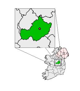 Partially outlinedCastle, unclassified · 814 yd
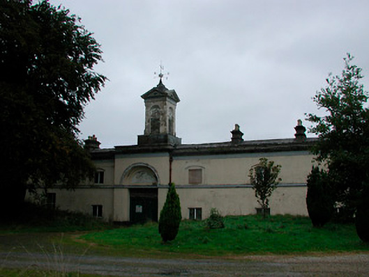 Middleton Park Houseoutbuilding · 1219 yd
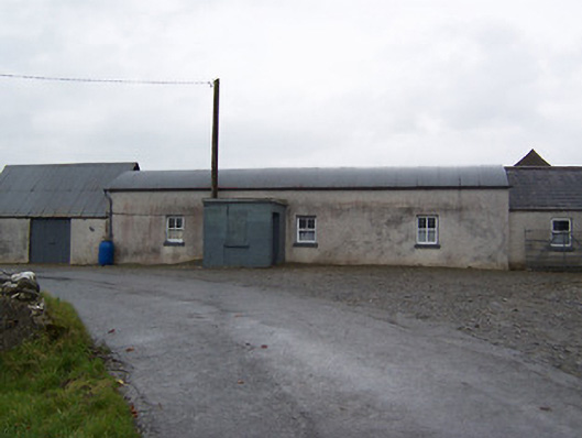 farm housefarm house · 1756 yd
 Castletown MoatCastle, motte and bailey · 1.3 mi
 Ardan WoodWood · 5.0 mi
 Bonfire HillMountain / peak · 5.1 mi
 Hill of UisneachMountain / peak · 5.7 mi
 Kilmalady HillMountain / peak · 6.1 mi
 High WoodWood · 6.8 mi
 St. Columba's WellSpring · 7.1 mi
Other information
Photo: Credit not shown in the picture search · Rights wording not checked; contact us if this picture should be removed