What is recorded here
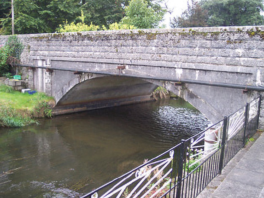
Triple-span road bridge over river Brosna, built c.1720 and new central arch added in 1951. Random rubble construction to early arches to either end (east and west) having rubble stone voussoirs and cut stone coping over parapet walls. Smooth concrete construction to 1950's rebuild with rusticated concrete blocks to parapets having reused cut stone coping over. Cut stone date plaques, one with Irish inscription to southern parapet wall and one with English inscription northern parapet, reading 'Office of Public Works Brosna Drainage Rebuilt 1951'. Located to the west end of Ballynagore village.
An interesting bridge of two distinct phases of construction, which has a graceful form and is a vital part of the local infrastructure for a considerable period of time. This bridge formerly had four arches (Lewis 1837). However, the central two arches were replaced by a modern arch in the 1950s as part of extensive drainage works carried out by the Office of Public Works at the time. The small size of the arches and the form of the voussoirs to the original sections suggests that it is quite early, perhaps early eighteenth-century in date. The sympathetic reuse of the original cut stone coping over the rebuild helps to blend this section in with the original bridge fabric.
From the Buildings of Ireland (National Inventory of Architectural Heritage) record 15319003
This does not grant access. Most recorded buildings are privately owned; view them only from public ground unless the owner allows entry.
Places near here
Photo credits
- National Inventory of Architectural Heritage
- Seán Dunne, Wikimedia Commons · CC BY-SA 4.0
- kevin higgins, Wikimedia Commons · CC BY-SA 2.0
- Mike Searle, Geograph · CC BY-SA 2.0
- Willow, Wikimedia Commons · CC BY 2.5
- JP, Geograph · CC BY-SA 2.0
- Kieran Campbell, Wikimedia Commons · CC BY-SA 2.0
 Glen Brosna HouseHouse · 60 yd
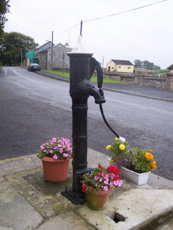 water pump130 yd
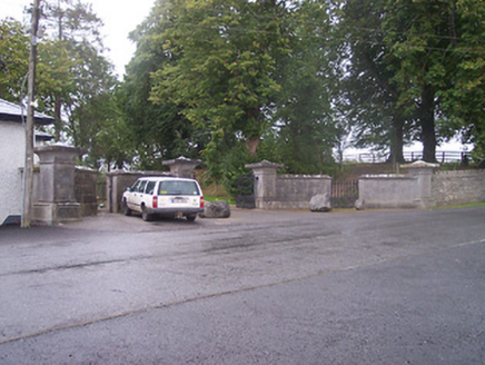 Ballynagore HouseGates/railings/walls · 152 yd
 Ballynagore HouseGates/railings/walls · 168 yd
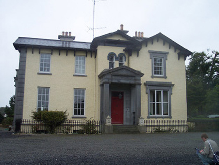 Ballynagore HouseHouse · 207 yd
 Durrow AbbeyArchaeological place · 6.0 mi
 St. Columbkilles CrossCross, High cross · 6.0 mi
 Durrow MoatCastle, motte · 6.0 mi
 European ash7.3 miEuropean ash7.3 mi
 Grand Canal WayWalking route · 8.7 mi
 Ballycowan CastleCastle · 9.8 mi
More historic places in County Westmeath · All of County Westmeath
What do you know about this place?