What is recorded here
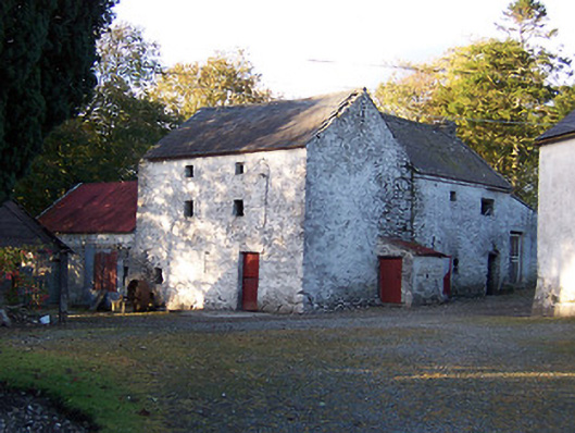
Tuck mill complex on L-shaped plan, built c.1800, comprising a main two-bay three-storey mill building having a three-storey return to the north and a two-storey ancillary structure attached to the west side. Later in use as a corn mill (Ordnance Survey Map 1914), and now out of use. Pitched natural slate roof to main building (south) having projecting eaves course and cast-iron rainwater goods. Pitched corrugated roof to rear return with a projecting eaves course and with a rubble stone chimneystack to north gable. Pitched corrugated metal roof to building attached to the west. Coursed rubble limestone walls with whitewashed lime render over, now failing in places, with square-headed openings having timber sheeted doors and half-doors. Window fittings now gone. Set back from road in own grounds with former mill race running north-to-south to the west side of the complex and with a two-storey former miller’s house/farmhouse (154031336) to the east. Located to the northeast of Horseleap and to the west of Ballinagore.
An appealing former tuck and corn mill that forms part of an interesting and significant pair of vernacular structures with the former mill owner's house/farmhouse (15403135) to the east. This building is robustly constructed and has a strong vernacular character on account of the unrefined rubble stone construction and the small window openings. This mill probably dates to the late eighteenth or early nineteenth-century, which was a period of relatively prosperity in rural Ireland, but it could be earlier. The rear return to the main structure was added sometime later, probably during the mid-to-late nineteenth-century (map information). This structure was in use as a tuck mill, engaged in the beating and/or cleaning of cloth, in the early nineteenth-century (map 1837). It was later in use as a corn mill (map 1914). It is in good structural order, despite being no longer in use, and is an attractive feature in the rural landscape to the west of Ballinagore. The ancillary structures and boundary walls to site complete the setting.
From the Buildings of Ireland (National Inventory of Architectural Heritage) record 15403134
This does not grant access. Most recorded buildings are privately owned; view them only from public ground unless the owner allows entry.
Places near here
Photo credits
- National Inventory of Architectural Heritage
- Mike Searle, Geograph · CC BY-SA 2.0
- Wayne77, Wikimedia Commons · CC BY-SA 3.0
- Maker named on the Wikimedia Commons picture page · CC BY-SA 2.5
- A.-K. D., Wikimedia Commons · CC BY-SA 4.0
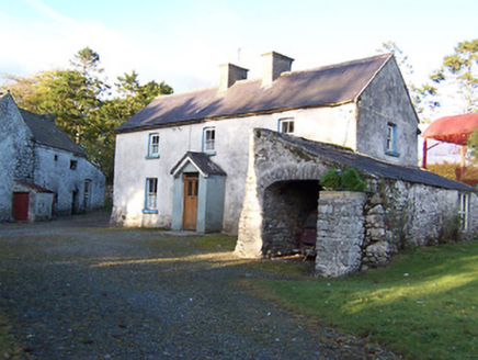 farm house22 yd
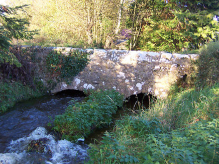 bridge43 yd
 Rockfield HouseHouse · 1194 yd
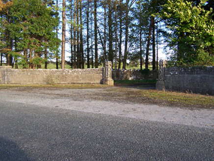 Rockfield HouseDemesne walls/gates/railings · 1515 yd
 Donore BridgeBridge · 1.1 mi
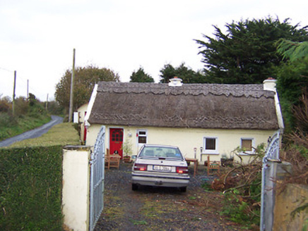 The ThatchHouse · 1.1 mi
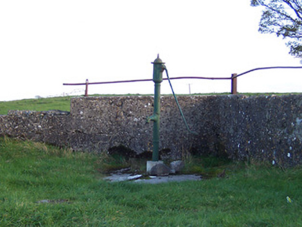 water pump1.2 mi
 Laragh CastleCastle · 2.6 mi
 Japanese pagoda tree4.3 mi
 Sessile Oak9.9 mi
 AbbeyHermitage · 12 mi
 St. Managhans WellHoly well · 12 mi
More historic places in County Westmeath · All of County Westmeath
What do you know about this place?