What is recorded here
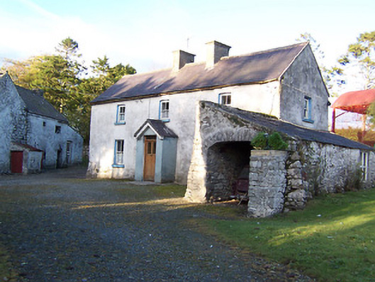
Detached three-bay two-storey former mill owner’s house/farm house, built c.1820, having a single-bay gable-fronted porch to the centre of the main façade (west) and a single-bay single-storey shed attached to the south end, running perpendicular to the house alignment. Pitched natural slate roof with a pair of central rendered chimneystacks, cast-iron rainwater goods and a raised verge to either gable end. Lime roughcast render with slight base batter to the north end. Square-headed window openings with cut stone sills and two-over-two pane timber sliding sash windows. Square-headed doorway to projecting porch having a timber sheeted door. Segmental-headed carriage arch to shed to south having roughly dressed limestone voussoirs. Set back from road in shared grounds with former tuck and corn mill (15403134) to the west. Rendered rubble limestone boundary wall and main entrance gates, comprising a pair of rendered rubble limestone gate piers (on square-plan with chamfered cut stone capstones over) supporting a pair of wrought-iron flat-bar gates, to the south. Located to the west of Ballinagore.
A particularly good example of an early nineteenth-century vernacular house, which retains it early form and character. This building is enhanced by the retention of all its important early fabric, including time sash windows and lime render. The porch is a later addition. Buildings of this type were once a common feature of the Irish rural countryside but are now becoming increasingly rare making this an important survival. The position of this building, located to the north of the remains of a former tuck and corn mill (15403134), suggests that it may have been originally built by the owner of this mill. This house forms a very interesting pair of structures along with this mill with the boundary walls, gates, attached shed and ancillary structures completing this high quality vernacular complex.
From the Buildings of Ireland (National Inventory of Architectural Heritage) record 15403135
This does not grant access. Most recorded buildings are privately owned; view them only from public ground unless the owner allows entry.
Places near here
Photo credits
- National Inventory of Architectural Heritage
- Mike Searle, Geograph · CC BY-SA 2.0
- Wayne77, Wikimedia Commons · CC BY-SA 3.0
- Maker named on the Wikimedia Commons picture page · CC BY-SA 2.5
- A.-K. D., Wikimedia Commons · CC BY-SA 4.0
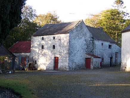 mill (water)22 yd
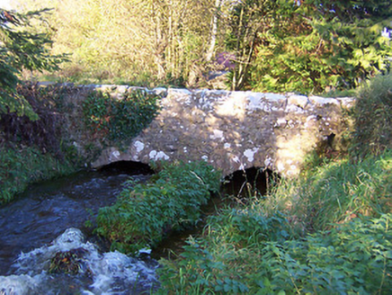 bridge48 yd
 Rockfield HouseHouse · 1210 yd
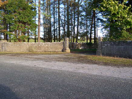 Rockfield HouseDemesne walls/gates/railings · 1532 yd
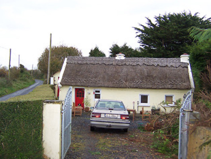 The ThatchHouse · 1.1 mi
 Donore BridgeBridge · 1.1 mi
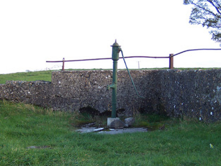 water pump1.2 mi
 Laragh CastleCastle · 2.6 mi
 Japanese pagoda tree4.3 mi
 Sessile Oak9.9 mi
 AbbeyHermitage · 12 mi
 St. Managhans WellHoly well · 12 mi
More historic places in County Westmeath · All of County Westmeath
What do you know about this place?