
What is recorded here
Monument surveyed by ASI in 1977 and described as following; 'The site is an oval earthen embankment. The embankment is quite high with steep sides and a flat top. The long axis of the platform (diam. 13m NE-SW; 10.5m NW-SE) lies NE-SW. There is no evidence for a bank or fosse or any other features associated with the site. The sides have been defaced by animals at all points, and there are rebbot burrows on the SE. The top is flat and no features are visible. The sides are overgrown with thorn bushes on the NE and W and there are young thorn bushes growing on the top. The site is on a small rise in good pasture land. It is overlooked by higher ground to the N and NE but there are extensive views to the NW, W, S and SE. Views of Slieve Bloom Mountains to the SW and ringfort (WM032-028----) 250m to the W. There is a modern electric fence on small stakes running roughly E-W past the site on the N. A number of small boulders and stone - field clearance, have been dumped against the site on the SW-S-E '(SMR File 13/09/1977). Ringfort (WM032-040----) located 250m to the SSW.
Compiled by: Caimin O'Brien
Date of upload: 16 February 2013
A local castle; wider significance not recorded.
The monument record does not grant public access. Check the route and ask the landowner before entering private land.
- What survives
- Recorded monument
Places near here
 Partially hachuredFairy fort / earthen ringfort · 314 yd
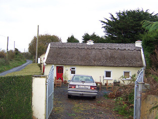 The Thatchhouse · 825 yd
 IndicatedEnclosure · 1032 yd
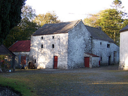 mill (water)mill (water) · 1131 yd
 Killalea FortCastle, motte · 1349 yd
 Site of CastleCastle, tower house · 2.0 mi
 Sam's ParkForest · 3.7 mi
 Kilmalady HillMountain / peak · 4.4 mi
 Japanese pagoda treeJapanese pagoda tree · 4.9 mi
 Bonfire HillMountain / peak · 5.6 mi
 Clara Bog BoardwalkHeritage attraction · 8.2 mi
 Charles BianconiMemorial · 8.3 mi
Other information
Photo: Credit not shown in the picture search · Rights wording not checked; contact us if this picture should be removed