In 1896, Henry Arthur Upton, of Coolatore, Co. Westmeath, penned a report in the Journal of the Royal Society of Antiquaries of Ireland on ‘some pre-historic graves’ at Sraneeg, near Castletown Geoghegan, Co. Westmeath. From the details provided, the ‘graves’ are probably cist-burials of Early Bronze Age date. The…
Read the whole record
In 1896, Henry Arthur Upton, of Coolatore, Co. Westmeath, penned a report in the Journal of the Royal Society of Antiquaries of Ireland on ‘some pre-historic graves’ at Sraneeg, near Castletown Geoghegan, Co. Westmeath. From the details provided, the ‘graves’ are probably cist-burials of Early Bronze Age date. The exact location of the graves is not clear from the report. However, Carmel and Dan Lynam of Sraneeg have identified their location based on the details provided by Upton’s paper, coupled with a family tradition of graves being uncovered on the family farm. This has facilitated the identification of the site as a low roadside hummock in the western part of the townland. The global co-ordinates of the site are as follows: ITM 630695,742140. The cist graves were described by Upton (1896, 387-8) as follows: ‘I had been told that, about sixteen years ago, while part of a field, in the townland of Sraneeg, or Dromore, in the barony of Moycashel, county Westmeath, was being cleared of some bushes, the workmen employed came on some stone-lined graves, in which were ashes and earthenware pots. I obtained permission from the occupier, T. Lynam, to make excavations. The ground I examined is in a pasture field which had been formerly tilled, and is a more or less circular hill about 8 feet at the highest part above the natural level of the rest of the field. It is impossible to say if it was at any time higher, but it may have been a tumulus, lowered from some cause, as there are two others, in a good state of preservation, within half a mile of this place. The circle has been destroyed, as the mound has been nearly half cut through, by the making of a county road ninety years ago, and whether anything was discovered during the process I have not been able to ascertain. I commenced digging near what must have been the original centre, and was lucky to at once come on a grave, at a depth of about 1 foot [0.3m] under the surface, and lying due east and west. The grave was 1 foot 6 inches [0.45m] deep, 2 feet 4 inches [0.7m] long on the north side, and 2 feet on the other; it was 1 foot 6 inches [0.45m] wide at the top, narrowing to 1 foot [0.3m] at the bottom; the grave, with the exception of the bottom, was lined with stone flags about two inches thick, one on each side, while the top was formed of small flags the same thickness; these having fallen in, had let the earth fill up the grave, partially destroying its contents. In clearing up the clay, I came half-way down on a skull, of which the occipital bone and the upper and lower jaws were missing; it was at the west end of the grave, the face looking in the same direction. At the bottom of the grave was a complete skeleton lying on the back on gravel, the knees had been drawn up to the chin, and the hands placed over the face, for the finger bones were in that position. Over, or by, the head had been placed a food-vessel of roughly-made pottery, but this and the skull had been destroyed by the falling earth, and only fragments remained. The bones were small, and seemed to be those of a youth, and they were lying with the head to the west. The skull first found had no connexion with them at all. No weapons or implements of any kind were in the grave, except a small flake of flint which might have been used as a scraper, but it shows no sign of its having been worked; the finding of it was curious as there is no flint in the district. At a distance of about 2 feet [0.6m] from the first grave I found another and much more important one. It was 3 feet 2 inches long [1m], 2 feet [0.6m] wide, and 2 feet [0.6m] deep; the sides were formed of single stone flags about 2 inches [5cm] thick, while one large one about 4 inches [10cm] thick covered it, and was so heavy that it required four men to lift it. The grave contained only one skeleton in the same position as in the first, but in this case the head was pointing to the east. The skull was fairly perfect, and from its appearance, and that of the teeth and bones, the remains seemed to be those of an old man. The food-vessel was beside the head, but was broken in small pieces, some of which were large enough to show traces of a rough ornamentation. The pottery was of a coarse black clay, with a coating of red clay on the outside; it was about half-inch thick. There coating of red clay on the outside; it was about half-inch thick. There were no weapons or implements of any kind. A curious feature about this interment was the large flat stone 3 inches [7cm] thick which covered all the skeleton except the head; it was nearly the full size inside of the grave, and seemed to have been placed on the body at the burial; and as the body decayed the stone sank down pressing the bones into the gravel at the bottom, and as it had apparently only been placed on the body as far as the chin, the skull remained above the stone at its edge ; in its descent it had broken the food-vessel. It would be interesting to know what this stone was for ; it may have been so placed to keep the body in its proper position, as the grave was much too large for it, or, perhaps, it was with the idea of preventing the spirit of the deceased from visiting its former haunts. There were traces of ashes on the stone, which looked as if a fire had been lighted on it, but there were no ashes with the remains. From its size, this may have been the grave of some chief, and the other, that of some person sacrificed at his burial’. Date of Compilation: 10 November 2025

 Fairy fort / earthen ringfort in DromoreFairy fort / earthen ringfort · 787 yd
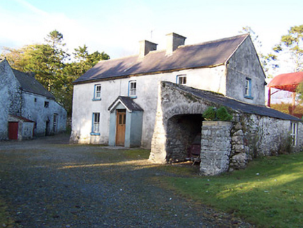 farm house849 yd
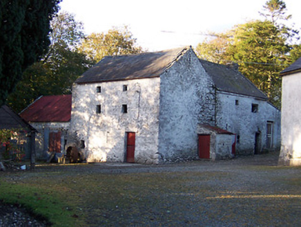 mill (water)858 yd
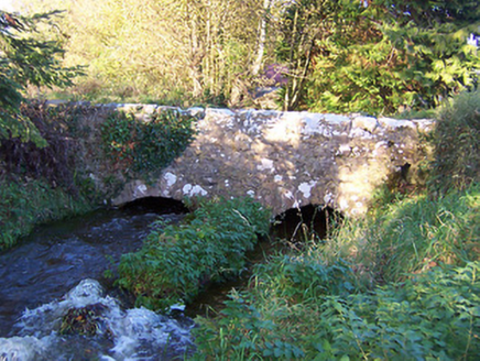 bridge897 yd
 Rockfield HouseHouse · 1237 yd
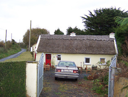 The ThatchHouse · 1328 yd
 Fairy fort / earthen ringfort in Skeheen (evans)Fairy fort / earthen ringfort · 1452 yd
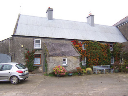 Garhy LodgeHouse · 1485 yd
 St. Joseph's GAA pitchGAA ground · 1.0 mi
 Stone circle in Skeheen (nagle)Stone circle · 1.6 mi
 Donore BridgeBridge · 1.6 mi
 Fairy fort / earthen ringfort in ToorlisnamoreFairy fort / earthen ringfort · 2.1 mi

What do you know about this place?Tap to add a comment or ask a question