
What is recorded here
Described in 1976 as a motte situated on a slight natural rise of ground surrounded by gently undulating countryside with extensive views in all directions. Site consists of a high, steep sided flat-topped mound (top diam. c.17.6m N-S; 14.2m E-W) of earth and stone with slight remains of a fosse at the base of the motte. Small stones are visible in the side of the motte where it is slightly defaced in places. A modern field boundary encloses the base of the motte from N-E-S-W-WNW. There are no visible traces of a bailey. The upper edge of the motte has been slightly defaced so that the original shape of the top is uncertain.
Compiled by: Caimin O’Brien
Date of upload: 11 March 2013
A local castle; wider significance not recorded.
This remains an important historical record, but the official description says the monument is no longer visible or has been destroyed. The monument record does not grant public access. Check the route and ask the landowner before entering private land.
- What survives
- No visible remains or recorded as destroyed
Places near here
 CastleCastle, motte · 1349 yd
 KilnKiln, corn-drying · 1436 yd
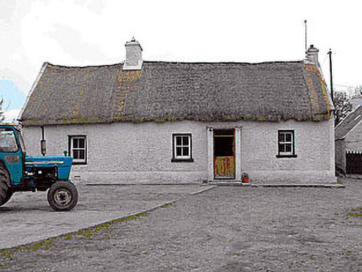 farm housefarm house · 1574 yd
 Enclosure in Skeheen (nagle)Enclosure · 1635 yd
 Partially hachuredFairy fort / earthen ringfort · 1.0 mi
 OutlinedCastle, unclassified · 1.8 mi
 Kilmalady HillMountain / peak · 3.8 mi
 Bonfire HillMountain / peak · 5.0 mi
 Ardan WoodWood · 5.3 mi
 Chapel HillForest · 5.8 mi
 Clara Bog BoardwalkHeritage attraction · 7.5 mi
 Charles BianconiMemorial · 8.1 mi
Other information
Photo: Credit not shown in the picture search · Rights wording not checked; contact us if this picture should be removed