
What is recorded here
Depicted as a large oval-shaped ringfort on the first edition of the OS 6-inch map. Ringfort visible on 2005 OSI aerial photographs where the enclosing bank of the monument has been levelled from NNW through N to NNE, elsewhere the enclosing bank is visible as an earthen bank which has been incorporated into a field boundary enclosing a roughly circular area (diam. c. 59m E-W; 55m N-S).
Compiled by: Caimin O'Brien
Date of upload: 16 February 2013
The monument record does not grant public access. Check the route and ask the landowner before entering private land.
- What survives
- Recorded monument
Places near here
 CastleCastle, motte · 314 yd
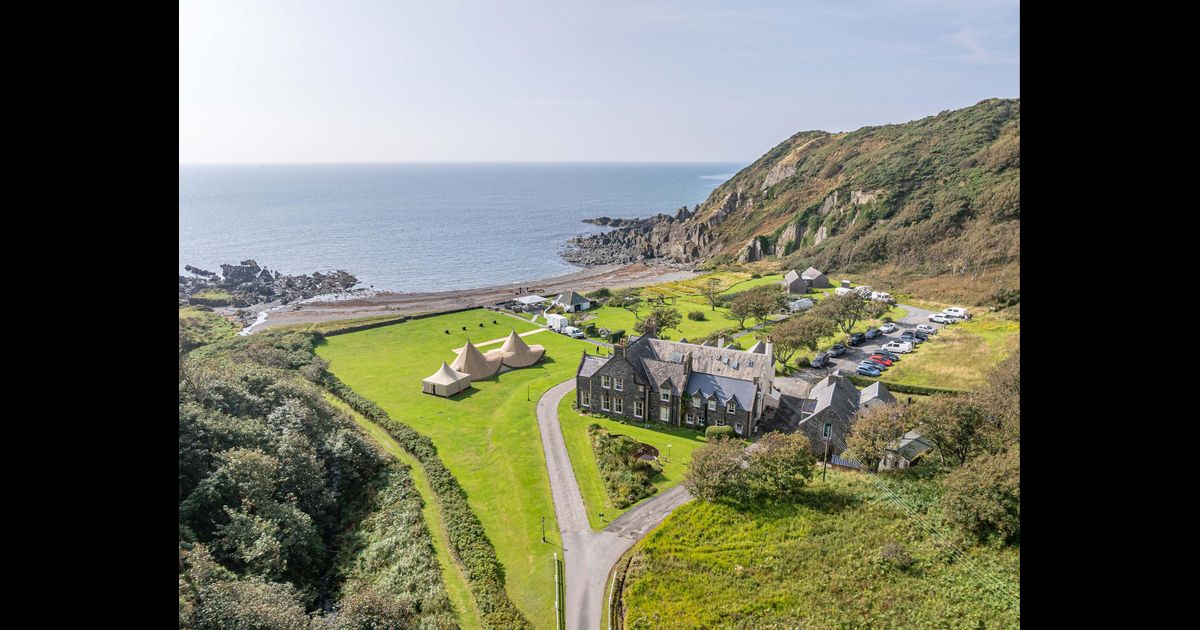 Hachured, RathbaneFairy fort / earthen ringfort · 812 yd
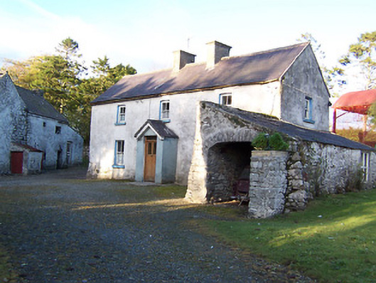 farm housefarm house · 813 yd
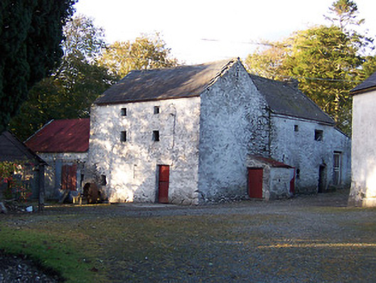 mill (water)mill (water) · 831 yd
 IndicatedEnclosure · 854 yd
 Killalea FortCastle, motte · 1433 yd
 Sam's ParkForest · 3.6 mi
 Kilmalady HillMountain / peak · 4.3 mi
 Japanese pagoda treeJapanese pagoda tree · 4.7 mi
 Bonfire HillMountain / peak · 5.8 mi
 Charles BianconiMemorial · 8.1 mi
 The Bob Traynor GalleryGallery · 8.2 mi
Other information
Photo: Credit not shown in the picture search · Rights wording not checked; contact us if this picture should be removed