What is recorded here
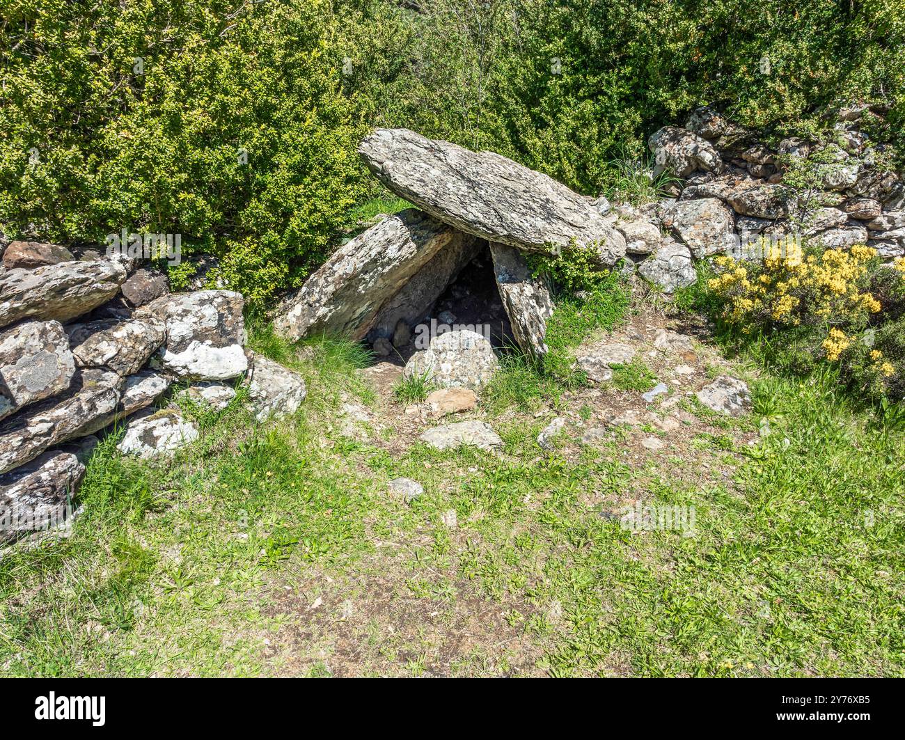
On the N edge of an E-W ridge of outcropping rock in poorly drained scrubland, covered partially by furze and sally bushes, heather and ferns. A line of five stone uprights, aligned E-W, two contiguous (H 0.5m; 0.76m x 0.28m; H 0.86m; 1.06m x 0.3m) at W, with a gap of 0.65m, followed by three contiguous slabs (H 0.46m; 1.28m x 0.18m; H 0.5m; 1m x 0.3m; H 0.87m; 1.1m x 0.26m). A stone (0.73m x 0.51m; T 0.2m) lying immediately to the N of the gap may have been part of the alignment. Beyond the last upright at the E end, and separated from it by a wedged in stone, are two stones side by side, leaning heavily to the N. Two stones are exposed c. 1-2m to the W of the alignment, the easternmost of which may be outcropping rock. An outcropping rock face rises c. 5m to the S of the alignment and the base of the face is strewn with slabs of rock.
The above description is derived from 'The Archaeological Inventory of County Cork. Volume 5' (Dublin: Stationery Office, 2009).
Date of upload: 22 December 2009
The monument record does not grant public access. Check the route and ask the landowner before entering private land.
- What survives
- Recorded monument
Places near here
 Kilancurra Burial Gd (Disused)Burial ground · 783 yd
 Hollybrook MillMill, unclassified · 1520 yd
 Childrens Burial GdBurial ground · 1541 yd
 Saw MillMill, sawmill · 1574 yd
 Coolngrane Fairy FortFort · 1.7 mi
 Lissangle Castle (Site of)Castle, unclassified · 2.1 mi
 Bishop MahonyMemorial · 2.5 mi
 Heritage CentreMuseum · 2.6 mi
 Irish Sky GardenHeritage attraction · 4.1 mi
 Suí FinnMountain / peak · 5.0 mi
 Monterey CypressMonterey Cypress · 5.1 mi
 Giant's GraveArchaeological place · 5.3 mi
Other information
Photo: Credit not shown in the picture search · Rights wording not checked; contact us if this picture should be removed