
Places near here
Photo credits
- AmandaMcCrann, Wikimedia Commons · CC BY-SA 4.0
- dougf, Geograph · CC BY-SA 2.0
- National Inventory of Architectural Heritage
- Brian Lawless / Sportsfile, as credited in the Ulster GAA caption, ulster.gaa.ie
- Roscommon GAA County Board (article credits GAA.ie content); individual photographer not stated, www.gaaroscommon.ie
- Maker not stated on source page, commons.wikimedia.org
- Mike Searle, Wikimedia Commons · CC BY-SA 2.0
- Maker not stated on source page, www.visitgalway.ie
- Gillaween, Wikimedia Commons · CC BY-SA 4.0
- Sawyer777, Wikimedia Commons · CC BY-SA 4.0
 Cloghogle StonePassage tomb · 2.7 mi
Explorer Tom Cloghogle Stone in Scregg was once ruled by a goat who thought it was a throne, and honestly, it looked better under…
 CastleCastle, tower house · 3.4 mi
Explorer Tom Castle in Cloghan is hiding a treasure that is definitely a biscuit tin from the seventies, but I'm not taking…
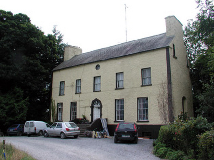 Bushypark HouseCountry house · 4.4 mi
Explorer Tom Bushypark House in Lisgillalea has an octagonal attic window that looks like a peephole for spying on the village. It…
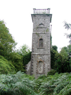 Mount Talbot Church (Tisrara)Church/chapel · 5.1 mi
Explorer Tom Mount Talbot Church in Tisrara is planning its retirement very carefully. It wants to turn into a fancy garden center…
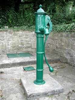 Historic buildingOfficially recorded historic building · 5.4 mi
Explorer Tom Historic building in Athleague is actually a water pump that thinks it’s an art piece because it was made before mains…
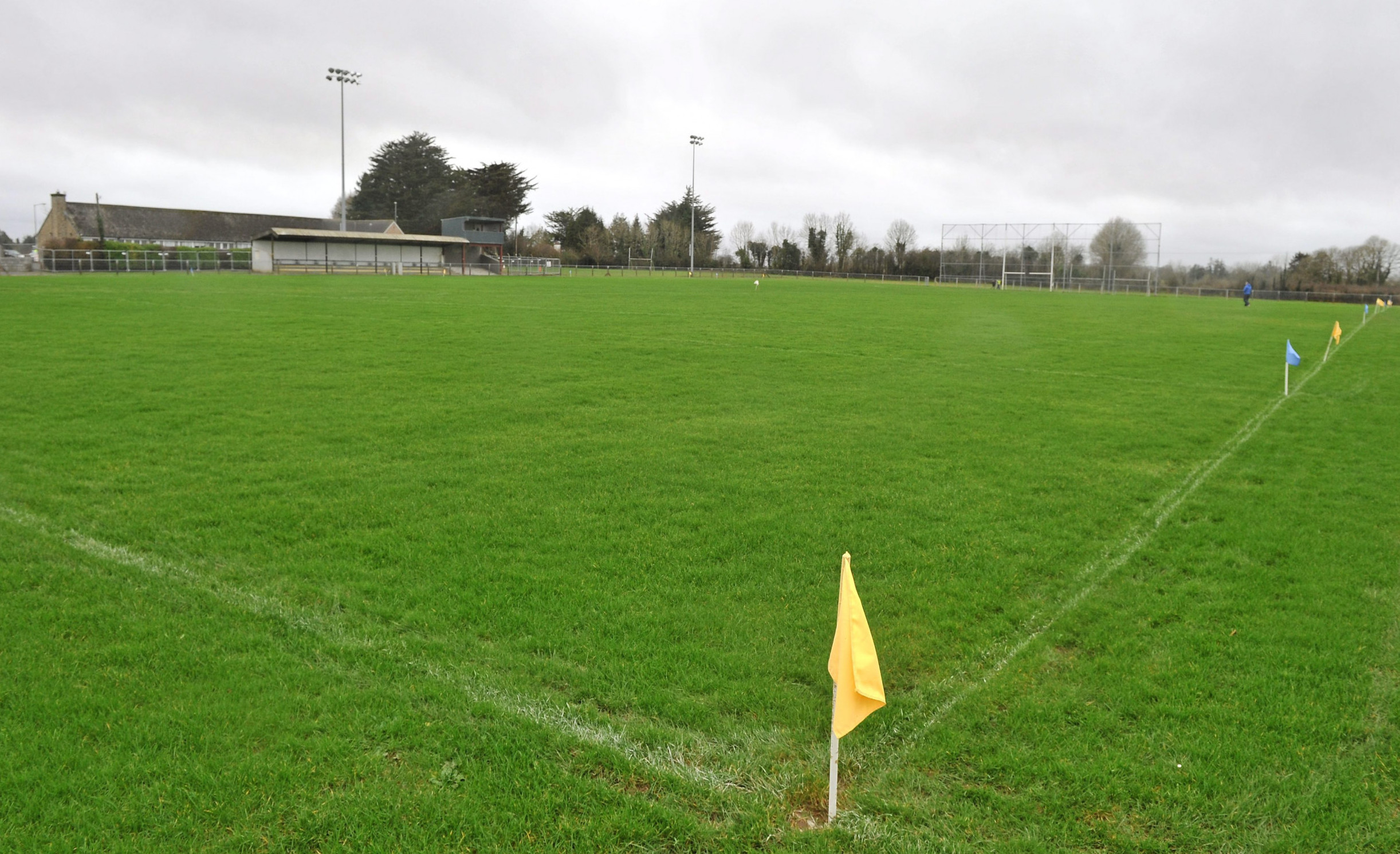 Páirc Naomh Aodain, St. Aidan's GAA, BallyforanGAA ground · 5.9 mi
 Athleague GAA PitchGAA ground · 5.9 mi
 Earthwork in Glinsk (ballymoe By.)Earthwork · 14 mi
Explorer Tom Earthwork in Glinsk would teach history by showing you a bump in the ground and saying 'this used to be cool.' It’s…
 Bawn in Glinsk (ballymoe By.)Bawn · 15 mi
Explorer Tom Bawn in Glinsk listens to what goes on inside the walls and probably hears the Burkes arguing about who left the light…
 Glinsk CastleVisitor attraction · 15 mi
Explorer Tom Glinsk Castle smells like a mix of old books, wet stone, and whatever the ghosts were having for dinner last night…
 The Mórrígan: OweynagatLegend location · 20 mi
Explorer Tom The Mórrígan: Oweynagat is called the Cave of Cats, which fooled me into expecting a very ordinary sort of trouble.…
 Queen Medb: RathcroghanLegend location · 20 mi
Explorer Tom Queen Medb: Rathcroghan is where the Táin starts turning a quarrel about a bull into an epic. Medb had a royal seat…
More archaeology and monuments in County Roscommon · All of County Roscommon

What do you know about this place?Tap to add a comment or ask a question