What is recorded here
Built by Edward Coyle in 1645, Gortnarapa was was bought by Capt. John Sproule and re-roofed in 1675. It was abandoned in 1824 (RIA Upton papers No. 7: see this web-page access on 23/10/2015; http://www.ria.ie/getmedia/3a3e5df7-6c7c-41a4-b009-658b35b85d5f/Upton-Catalogue.pdf). Gortfadda is represented without a house…
Read the whole record
From the National Monuments Service (Archaeological Survey of Ireland) record RO045-069001
Places near here
Photo credits
- Maker not stated on source page, in.pinterest.com
- Maker not stated on source page, www.dreamstime.com
- Maker not stated on source page, uk.pinterest.com
- Maker not stated on source page, www.thejournal.ie
- Maker not stated on source page, www.pinterest.com
- dougf, Geograph · CC BY-SA 2.0
- National Inventory of Architectural Heritage
- Maker not stated on source page, www.tripadvisor.com.my
- Maker not stated on source page, www.tripadvisor.com.au
- Brian Lawless / Sportsfile, as credited in the Ulster GAA caption, ulster.gaa.ie
- Roscommon GAA County Board (article credits GAA.ie content); individual photographer not stated, www.gaaroscommon.ie
 Kilmass StoneStanding stone · 653 yd
Explorer Tom Kilmass Stone is secretly proud of the single potato it grew in its shadow last summer, which was surprisingly large.…
 Fairy fort / earthen ringfort in Grange (athlone South By.)Fairy fort / earthen ringfort · 863 yd
Explorer Tom Fairy fort / earthen ringfort in Grange would teach history by making you walk around its twenty-seven-meter diameter…
 Stone sculpture in RaharaStone sculpture · 1446 yd
Explorer Tom Stone sculpture in Rahara is a stone head on the church corner, looking like it lost a bet with the mason and got stuck…
 Fairy fort / earthen ringfort in Funshinagh (madden)Fairy fort / earthen ringfort · 1593 yd
Explorer Tom Fairy fort / earthen ringfort in Funshinagh (madden) is only visible on aerial photos, which means a local guy probably…
Fairy fort / earthen ringfort in FunshinaghFairy fort / earthen ringfort · 1651 ydExplorer Tom Fairy fort / earthen ringfort in Funshinagh thinks Dublin tourists are loud, sticky-fingered, and completely out of…
 Illaunnamoona IslandIslet · 1.9 mi
Explorer Tom Illaunnamoona Island in County Roscommon claims Queen Victoria once stopped by for a quick swim, but nobody can prove…
 CastleCastle, tower house · 3.4 mi
Explorer Tom Castle in Cloghan is hiding a treasure that is definitely a biscuit tin from the seventies, but I'm not taking…
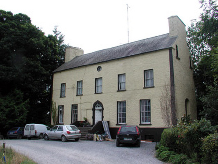 Bushypark HouseCountry house · 4.4 mi
Explorer Tom Bushypark House in Lisgillalea has an octagonal attic window that looks like a peephole for spying on the village. It…
 Athleague New CemeteryCemetery · 5.2 mi
Explorer Tom Athleague New Cemetery in County Roscommon holds the unofficial world record for the longest nap, held by someone who…
 Church in GarrynagranChurch · 5.3 mi
Explorer Tom Church in Garrynagran has one least favorite visitor: the guy who keeps trying to find it on his GPS for hours. He’s…
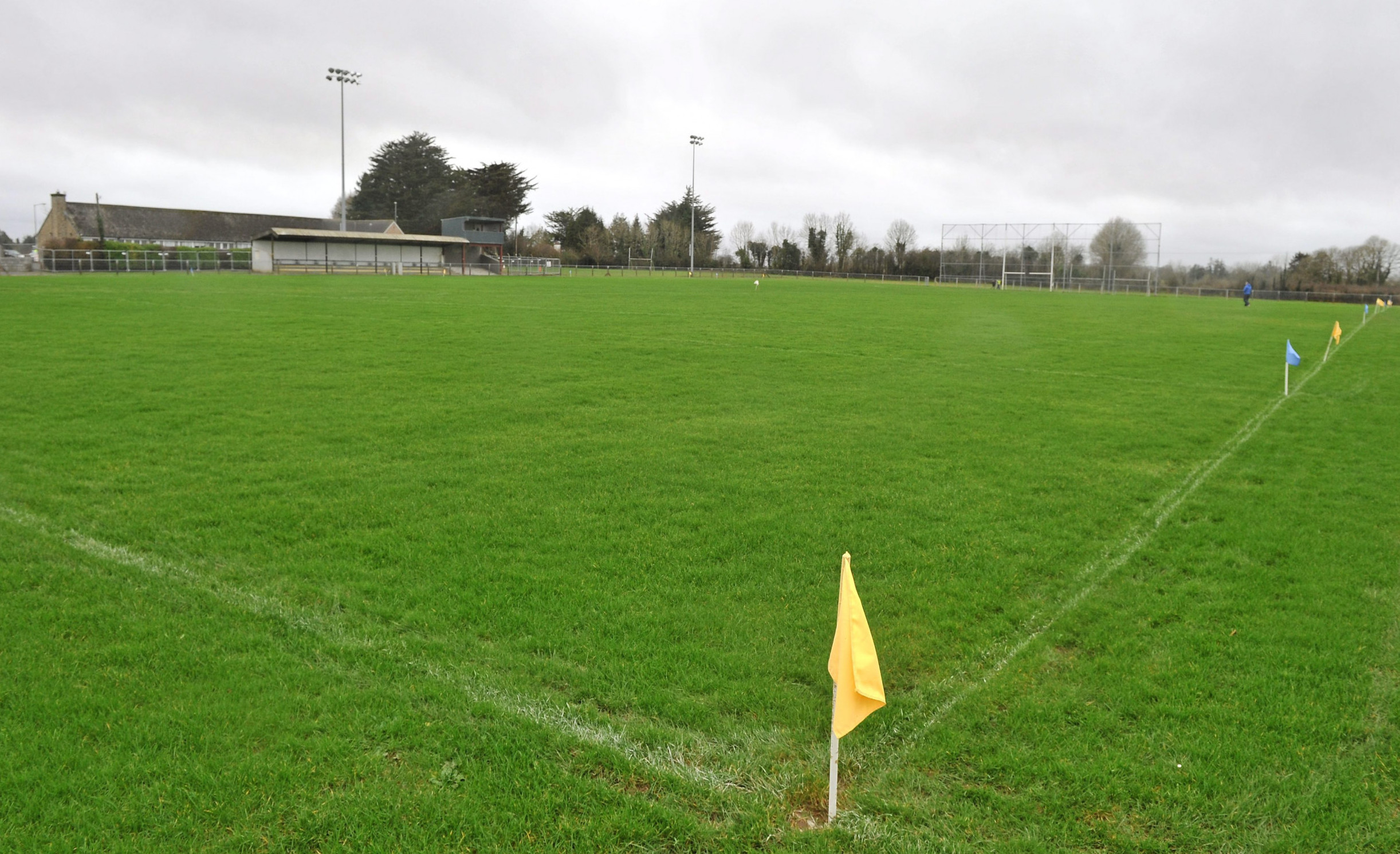 Páirc Naomh Aodain, St. Aidan's GAA, BallyforanGAA ground · 5.9 mi
 Athleague GAA PitchGAA ground · 6.0 mi
More historic places in County Roscommon · All of County Roscommon

What do you know about this place?Tap to add a comment or ask a question