
Places near here
Photo credits
- C O'Flanagan, Geograph · CC BY-SA 2.0
- Golfing in Ireland; photographer not stated, Source publisher
- National Inventory of Architectural Heritage
- J. Stirling Coyne, Wikimedia Commons · Public domain
- Denis O'Donovan, Wikimedia Commons
- Rob Hurson, Wikimedia Commons · CC BY-SA 4.0
- JP, Geograph · CC BY-SA 2.0
- Ronnie Nijboer, Wikimedia Commons · CC0
 Bridge in KnightsbrookBridge · 291 yd
Explorer Tom Bridge in Knightsbrook has a ghost that’s too lazy to haunt it because the stream moves too fast and ruins its hair.…
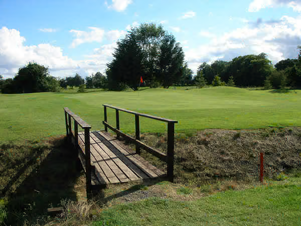 South Meath Golf ClubGolf course · 1.3 mi
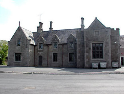 school1.7 mi
Explorer Tom School in Friarspark ended up here because the architect took a wrong turn and decided to stay. The inscription says…
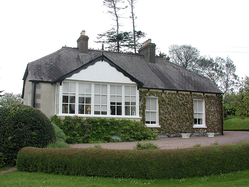 The CottageHouse · 1.7 mi
Explorer Tom The Cottage in Commons is sitting on the bank of the Boyne, looking modest but acting like it’s the most important…
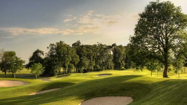 Knightsbrook Golf ClubGolf course · 1.8 mi
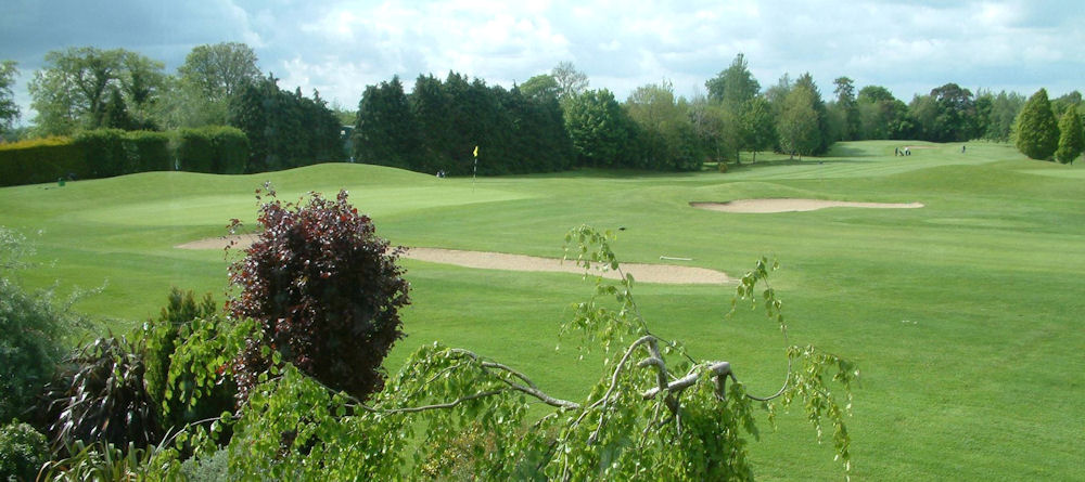 Co. Meath Golf ClubGolf course · 1.9 mi
 Dangan CastleCastle, tower house · 1.9 mi
Explorer Tom Dangan Castle thinks Dublin tourists are all wind and no substance because they never stay long enough to appreciate…
 PorchfieldPark · 2.0 mi
Explorer Tom Trim's Porchfield spreads beside the Boyne, turning the stretch between castle and Newtown into a walk where medieval…
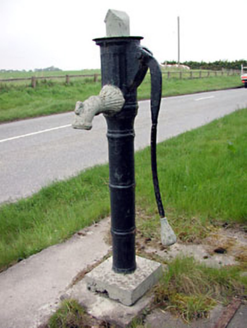 water pump2.0 mi
Explorer Tom Water pump in Iffernock claims Queen Victoria stopped for a drink, but nobody’s found the receipt yet. Its spout is…
 St. Johns FriaryReligious house, Fratres Cruciferi · 2.1 mi
Explorer Tom St. Johns Friary is sitting right on the riverbank, looking like it’s waiting for a ferry that never shows up. A cow…
 CastleCastle, motte · 2.3 mi
Explorer Tom The motte at Scurlockstown is bragging about surviving storms that would have flattened a normal heap of dirt, but…
 Wych Elm3.8 mi
Explorer Tom Wych Elm in County Meath is being claimed by a local who says he invented it. He swears he planted it from a seed found…
More archaeology and monuments in County Meath · All of County Meath

What do you know about this place?Tap to add a comment or ask a question